Land Use Over the Decades
In our day and age, protecting and improving water resources means that water has to compute with everything else around it. This means water has to mesh with plans, policies, procedures, neighborhood developments and even road construction.
To meet this need, watersheds such as VLAWMO create Sustainable Lake Management Plans (SLMP's). These plans combine studies, maps, public surveys, and recommendations to serve as a guide. The SLMP lets Cities, property owners, businesses, and State agencies what the goals of that water resource are, and why those goals are in place. After the SLMP is created, the next stage is to collaborate with community members to design and create projects that support the water resource.
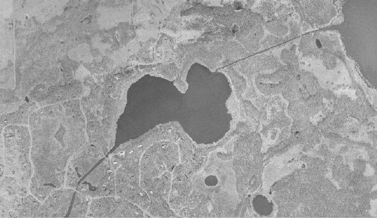
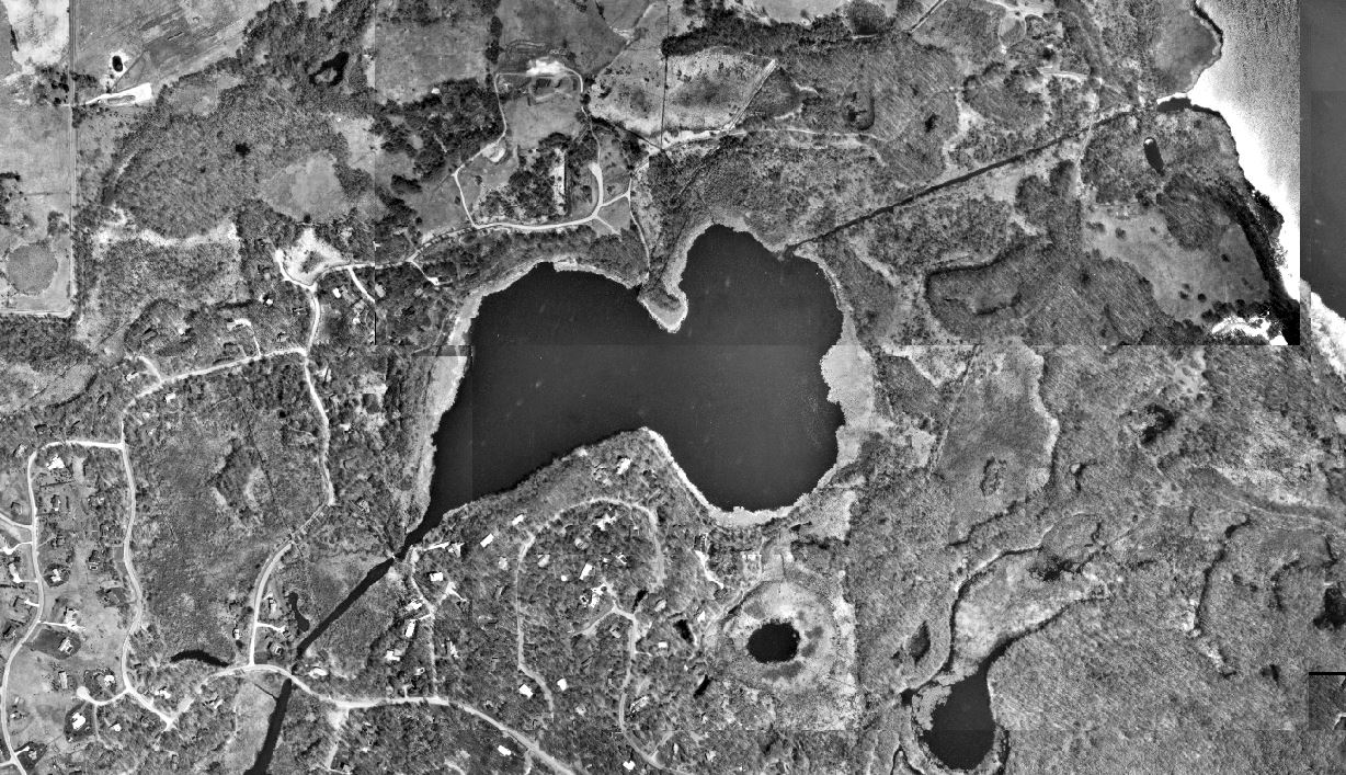
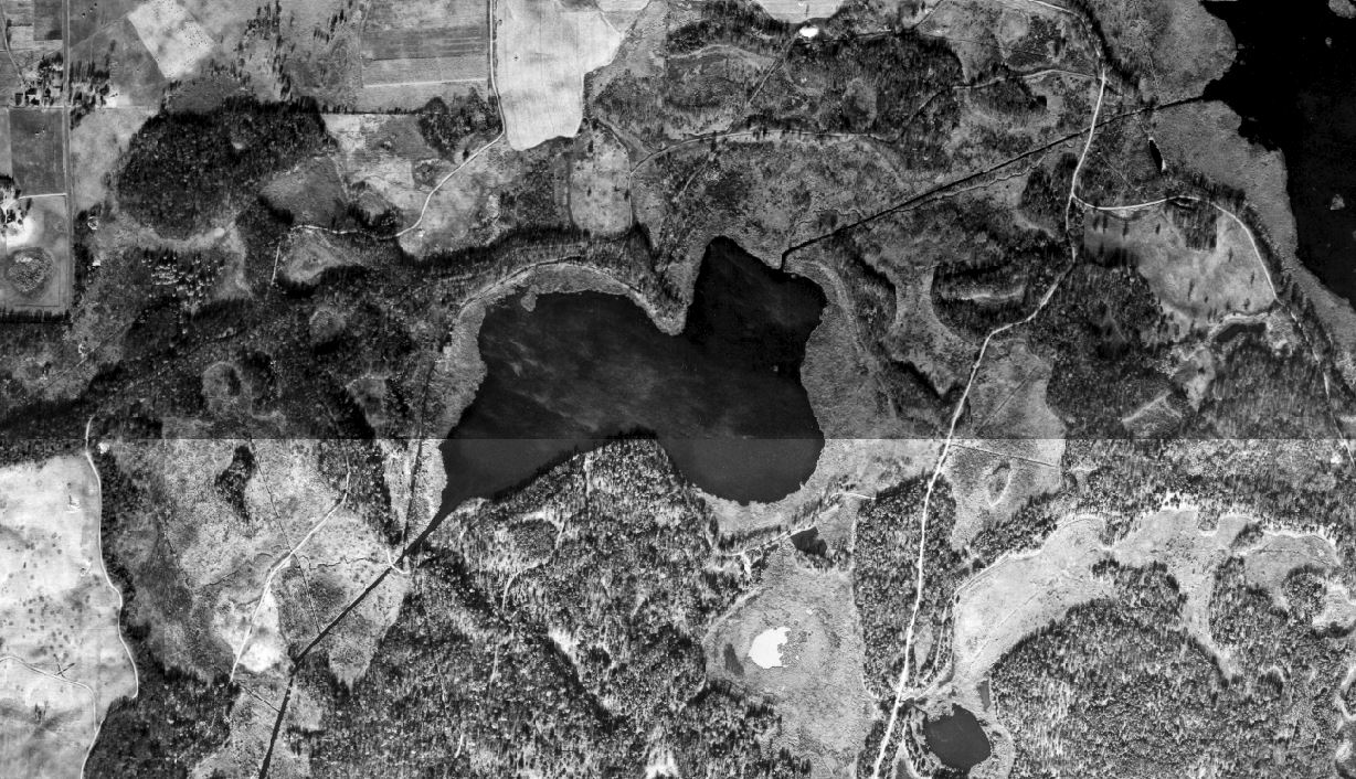
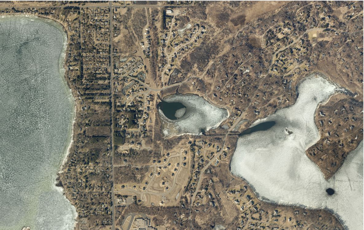
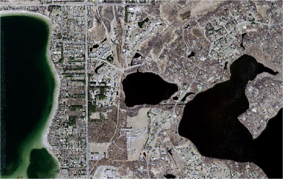
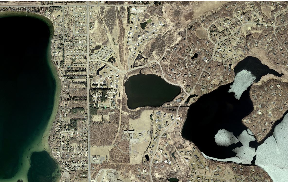
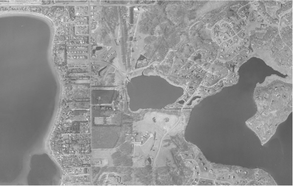
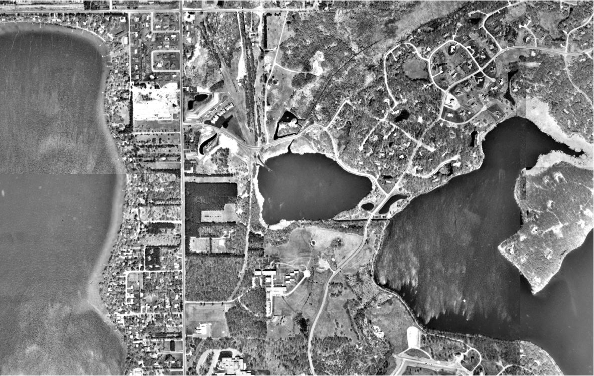
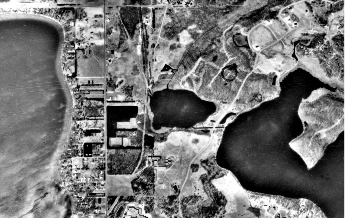
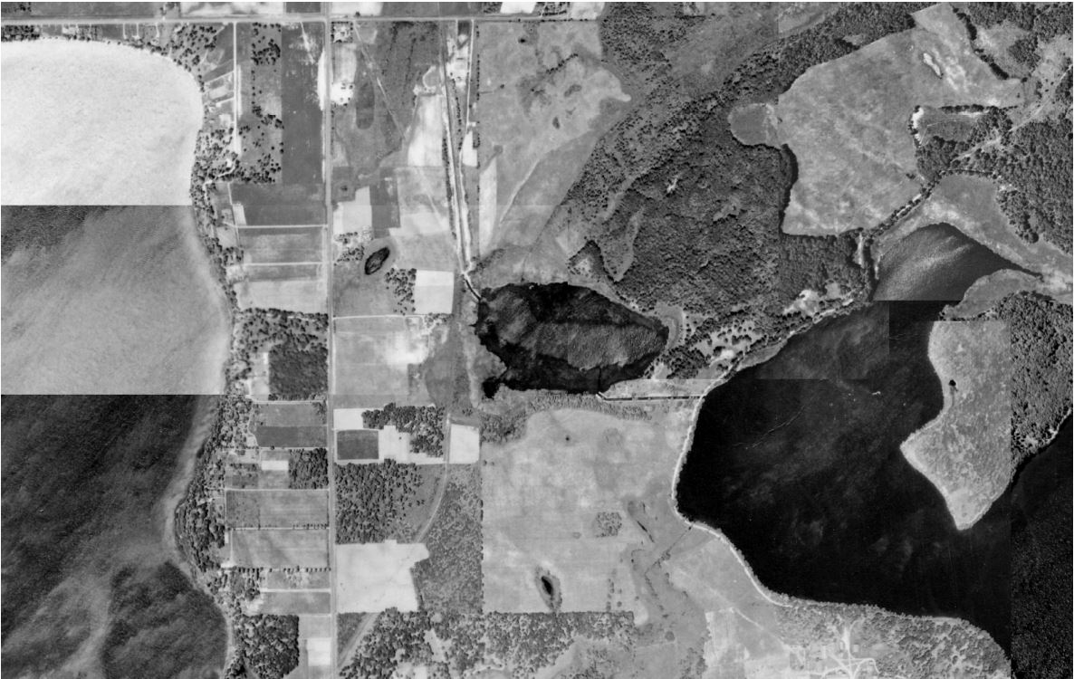
One of the many tools used in the SLMP is analysis of historical aerial photos. Looking back to the 1940's, we can see how water used to move across the landscape. As land use changes new ponds appear, forest plots are both cut and grown, and pavement is constructed. All of these details provide clues to how water moved from upland areas into water bodies. What do you see when looking at the slideshows below? If you were to build a project to support that water body, where would it go?
This month VLAWMO polished off two new SLMP's, one for Charley Lake and one for Deep Lake. Check them out below or visit our Lake Plans & Retrofit Studies page to see how your observations match our studies.
Deep Lake Land Use Changes
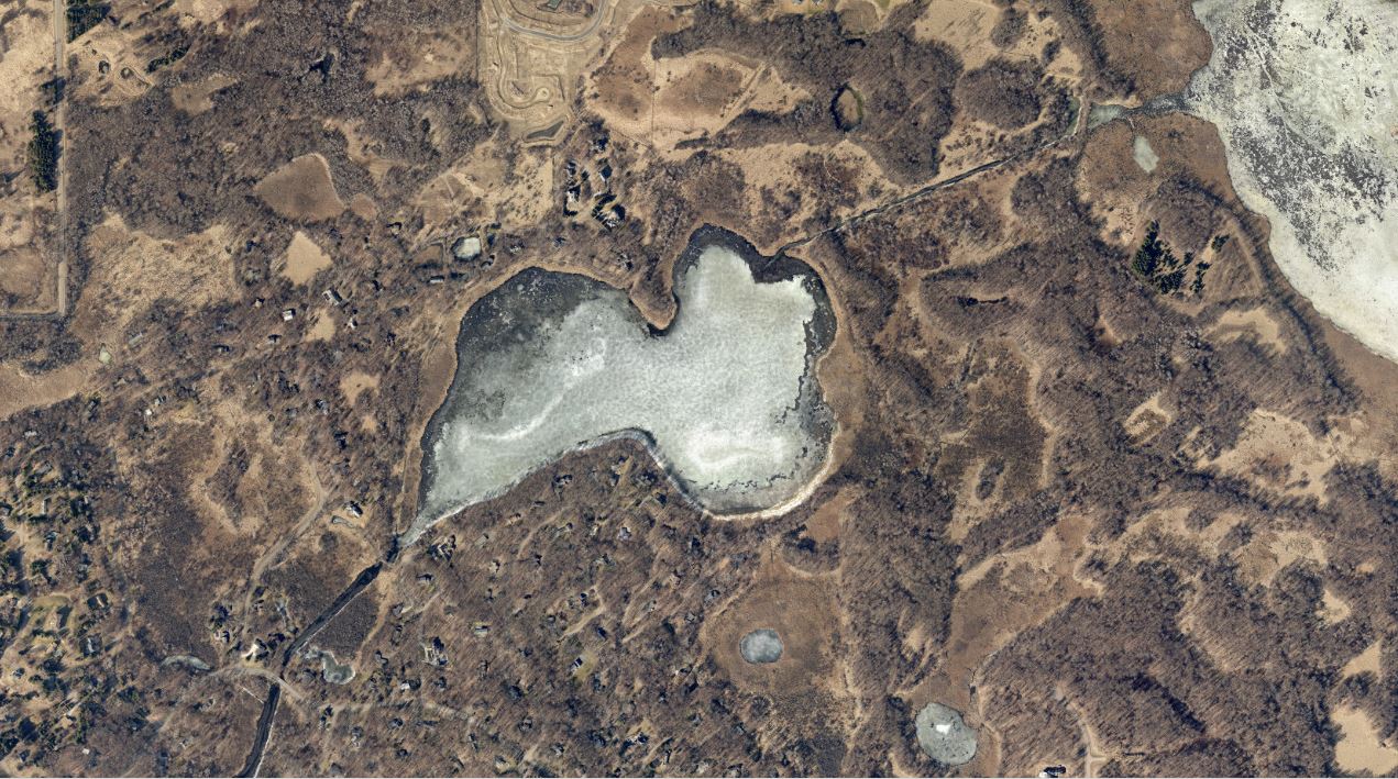
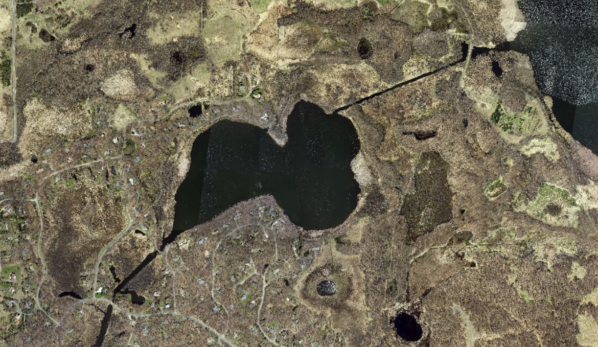
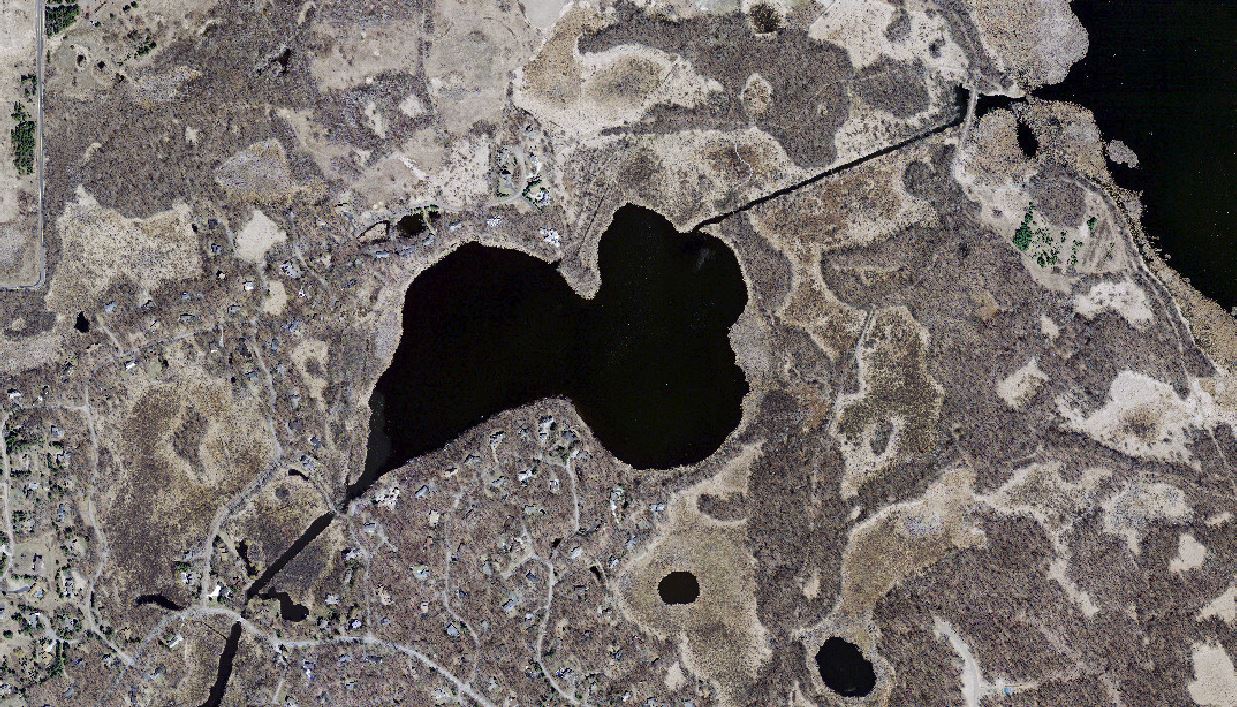
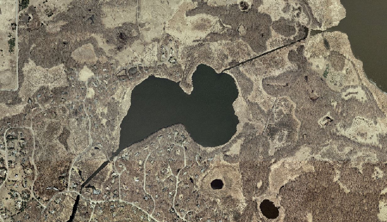


Charley Lake Land Use Changes

Recent Posts
Neighborhood Spotlight: Joe
VLAWMO Recruiting MN Water Stewards
Neighborhood Spotlight: Ingrid
Spring Yard Care for Water Conservation
Otter Trailcam Footage
More news
 Contact us
Phone: (651) 204-6070
Fax: (651) 204-6173
Email: office@vlawmo.org