Wetlands
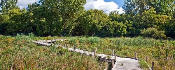
Like lakes and streams, wetlands are one of the pivotal systems for water quality. There are over 500 wetlands in VLAWMO, and part of our mission at VLAWMO is their conservation, preservation and restoration for the protection of our water resources. On this page you will find resources and information about wetlands within VLAWMO.
In implementing the 2017-2026 Water Plan, areas within the watershed that have high concentration and large area of wetland have been termed "wetland complexes." By identifying and targeting these wetland complexes, we are better able to plan projects and strategies for their conservation. Future projects within the 2017-2027 Water Plan aim to protect the wetlands that remain, and to also restore wetland area and quality that existed before large-scale human development of the area.
Information and maps about these wetland complexes can be found below illustrating the area and wetland cover type.
Minnesota Wetland Links
DNR wetland description and facts
Board of Water and Soil Resources wetlands page
Wetlands
- 2020 east vadnais lake shoreline vegetation report
- 2020 sucker lake shoreline vegetation report
- Amelialakewetlandcomplex
- Bearavewetlandcomplex
- Birch-rotary-polarwetlandcomplex
- Blacklkwetlandcomplex
- Gemlakewetlandcomplex
- Grasslkwetlandcomplex
- Greenhavenwetlandcomplex
- Lambertlakewetlandcomplex
- Longmarshwetlandcomplex
- Ricelake-subotasloughwetlandcomplex
- Suckerlakewetlandcomplex
- Tamarackwetlandcomplex
- Vadnais sucker lake wetland assessment - completed sept 2020 - updated june 2021
- Vlawmo wetland complexes map
- Wilkinson-deeplakewetlandcomplex
Looking for more in-depth information? |
28 results found

7 results found

3 results found
 Contact us
Phone: (651) 204-6070
Fax: (651) 204-6173
Email: office@vlawmo.org