ARE YOU IN VLAWMO?
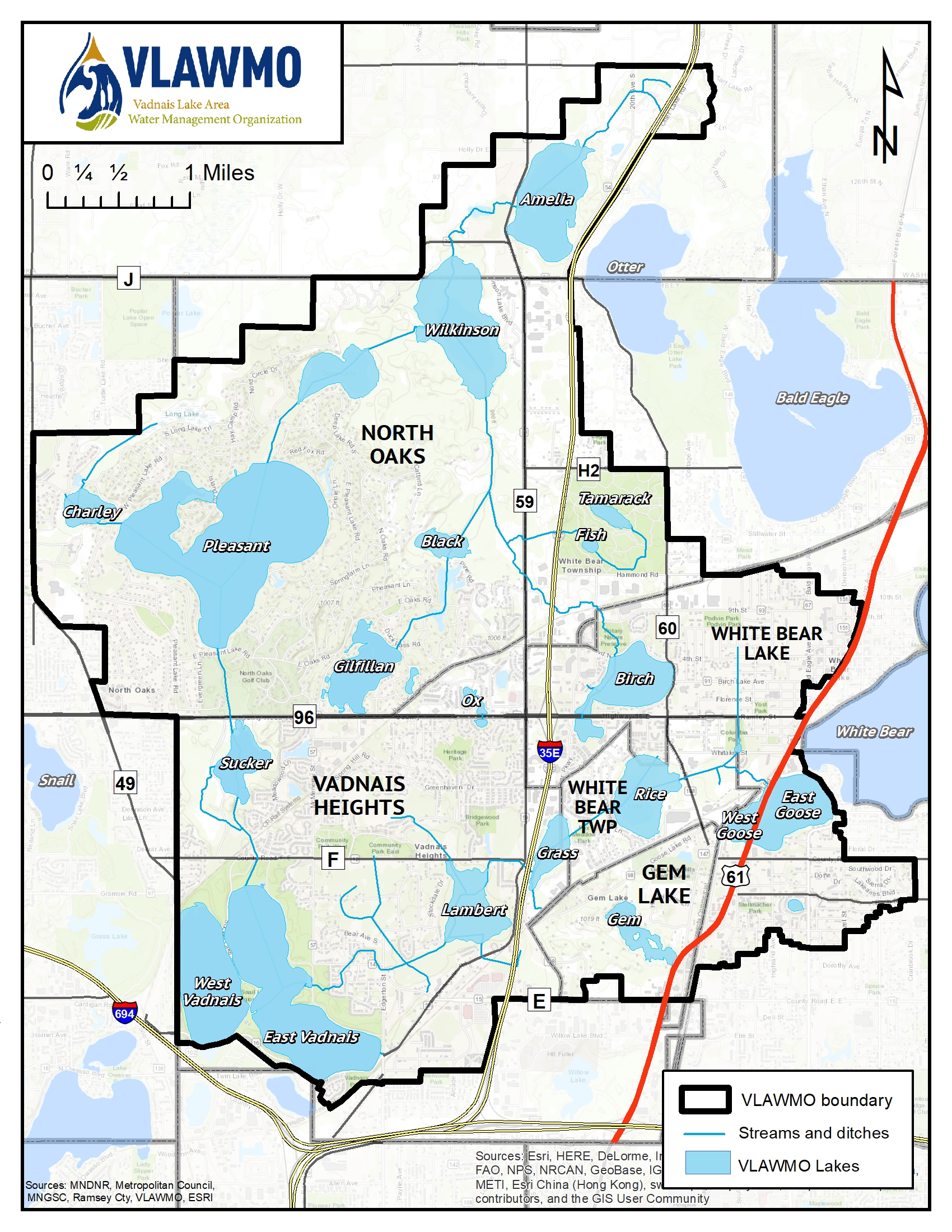
The watershed covers 24.18 sq. miles in the Northeast Metro.
Visit our GIS Viewer to zoom in and see the exact boundary of the watershed.
WATERBODIES
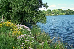
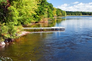
VLAWMO staff collect samples from 12 water bodies: Amelia Lake, Birch Lake, Black Lake, Charley Lake, Deep Lake, Gem Lake, Gilfillan Lake, East Goose Lake, West Goose Lake, Tamarack Lake, West Vadnais Lake, and Wilkinson Lake. These lakes are all shallow with depths no greater than 9 feet. Samples are also collected at 6 locations along Lambert Creek as part of the Organization's mission to protect and improve the water-related environment. The data received from the monitoring is used by the Minnesota Pollution Control Agency (MPCA) to determine the health of the state's waters. Lambert Creek and 5 of the lakes have been listed on the Impaired Waters List and are now part of a Total Maximum Daily Load (TMDL) study. These water bodies no longer meet State water quality standards due to excess nutrients (phosphorus), or bacteria (E. coli).
VLAWMO works in conjunction with the St. Paul Regional Water Service (SPRWS) on water quality monitoring. The SPRWS monitors the direct surface water flow into East Vadnais Lake to assure high quality drinking water for over 400,000 consumers. The SPRWS monitors the main chain of lakes (Charley Lake, Pleasant Lake, Sucker Lake and Vadnais Lake) and portions of Lambert Creek.
Monitoring Reports
- 2022 Water Monitoring Summary
- 2022 Monitoring Report.pdf
- 2021 Water Monitoring Report Summary
- 2021 Monitoring Report.pdf
- 2020 Monitoring Report.pdf
- 2019 Water Monitoring Summary
- 2019 Monitoring Report.pdf
- 2018 Water Monitoring Summary
- 2018 Monitoring Report.pdf
- 2017 Water Monitoring Summary
- 2017 Monitoring Report
- 2016 Monitoring Report
- 2015 Monitoring Report
- 2014 Monitoring Report
- 2013 Monitoring Report
- 2012 Monitoring Report
- 2011 Monitoring Report
- 2010 Monitoring Report
Sustainable Lake Management Plan/Report (SLMP/R)
- Amelia Lake SLMR 2023
- Birch Lake SLMP Appendix B Lake Sediment Survey
- Birch Lake SLMP Appendix C Aquatic Plant Survey
- Birch Lake SLMP: 2020
- Birch Lake SLMP: Appendix A Shoreland Inventory (2007)
- Black Lake SLMP (2015)
- Charley Lake SLMP 2018
- Deep Lake SLMP 2018
- Gem Lake SLMP
- Gem Lake SLMR - 2023
- Gilfillan Lake SLMP
- Goose Lake SLMP 2014
- Goose Lake SLMP Appendix A
- Goose Lake SLMP Appendix B
- Goose Lake SLMP Appendix C
- Goose Lake SLMP Appendix D
- Goose Lake SLMP Appendix E
- Pleasant Lake SLMP 2022
- SLMP Appendix A Wenck Memo
- SLMP Appendix B Gilfillan Lake Groundwater Influence
- SLMP Appendix C 1992 CRA Report on Groundwater
- SLMP Appendix D Lake Sediment Results
- SLMP Appendix E RCD Response for Request for District Assistance
- SLMP Appendix F Highlight of Small Waters Appropriations Permit
- Sucker and East Vadnais Lake SLMR: 2022
- Tamarack Lake SLMR 2023
- West Vadnais Lake SLMR 2022
- Wilkinson Lake SLMP (2011)
