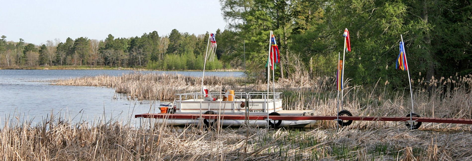
East Goose Lake
| Surface Area | 120 acres |
| Average Depth | 5 ft |
| Volume | 635 acre-ft |
| Subwatershed Area | 578 acres |
| Location | White Bear Lake |
Link to East Goose Lake Adaptive Management
Looking for more in-depth information? |
Blue-green algae blooms are detected on East Goose Lake in White Bear Lake during the late summer and fall. People and pets should avoid all contact with water, scum, or algae in lakes that have active blue-green algae blooms, also known as potentially harmful algal blooms (HABs). HABs may cause short-term and long-term harm including skin irritation, gastrointestinal problems, and/or liver damage. When in doubt, keep out.
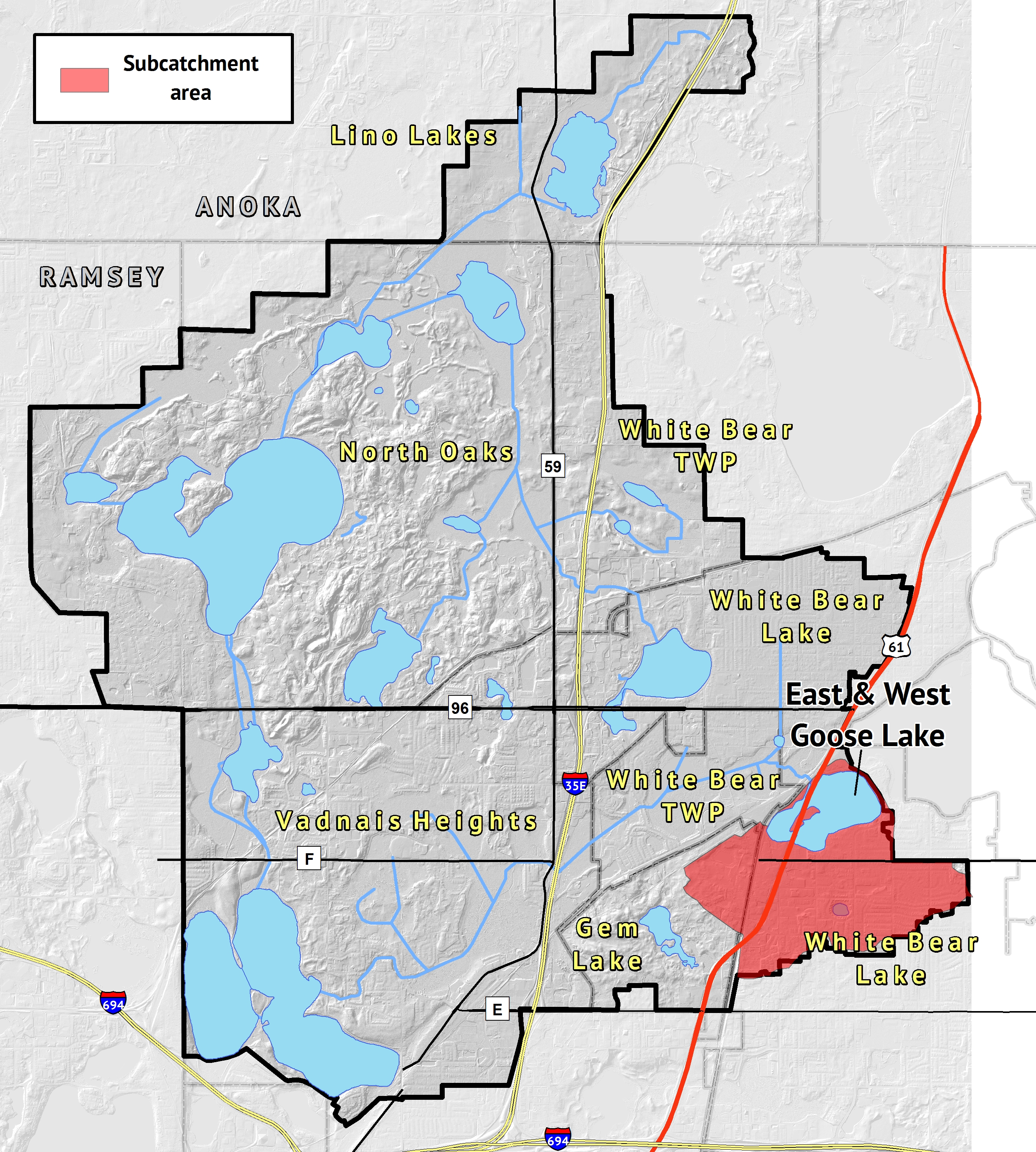
East Goose Lake is the basin east of Highway 61, which separates both East and West Goose Lake. The two basins are connected by two culverts that run under Highway 61. East Goose Lake is well above state standards for nutrients and is on the MPCA's List of Impaired Waters. The lake was included in Lambert Creek's total maximum daily load (TMDL) for nutrient reduction. Sediment cores were taken in summer 2015 to determine how prone to stirring and resuspension lake sediments, as well as how well lake sediments bind and retain phosphorus within the lake. This provides a clue as to how much the stirring of lake sediment has to do with nutrient loading and impairment, as well as possible means to treat the lake's nutrient problem.
Goose Lake, both East and West, are considered the headwaters of Lambert Creek, and eventually drain into East Vadnais Lake, the drinking water reservoir for St. Paul Regional Water Service customers.
Studies: East Goose Lake
- 2013 TMDL Report
- 2014 TMDL Implementation Plan
- 2019 Goose Lake Fish Survey by Blue Water Science
- East and West Goose Lake Aquatic Plant Survey 2019
- East and West Goose Lake Feasibility Study 2018
- East Goose Lake Aquatic Plant Survey 2014
- Equilibrium Exchanges of Soluble P by Resuspended Sediment in Goose Lake 2015
- Goose and Wilkinson Lakes Feasibility Study 2017
- Goose Lake Fish Survey 2012
- Goose Lake Fish Survey 2017
- Goose Lake Macrophyte Survey 2019
- Goose Lake SLMP 2014
- Goose Lake SLMP Appendix A
- Goose Lake SLMP Appendix B
- Goose Lake SLMP Appendix C
- Goose Lake SLMP Appendix D
- Goose Lake SLMP Appendix E
- Goose Lake Survey 2019
- Internal P Loading and Sediment P Fractionation Analysis for East Goose Lake 2014
- Lambert Creek-Goose Lake Retrofit Report 2011
Goose Lake Fish Management
East & West Goose Lakes Aquatic Plant Surveys
Whitaker Treatment Wetlands


 Contact us
Phone: (651) 204-6070
Fax: (651) 204-6173
Email: office@vlawmo.org