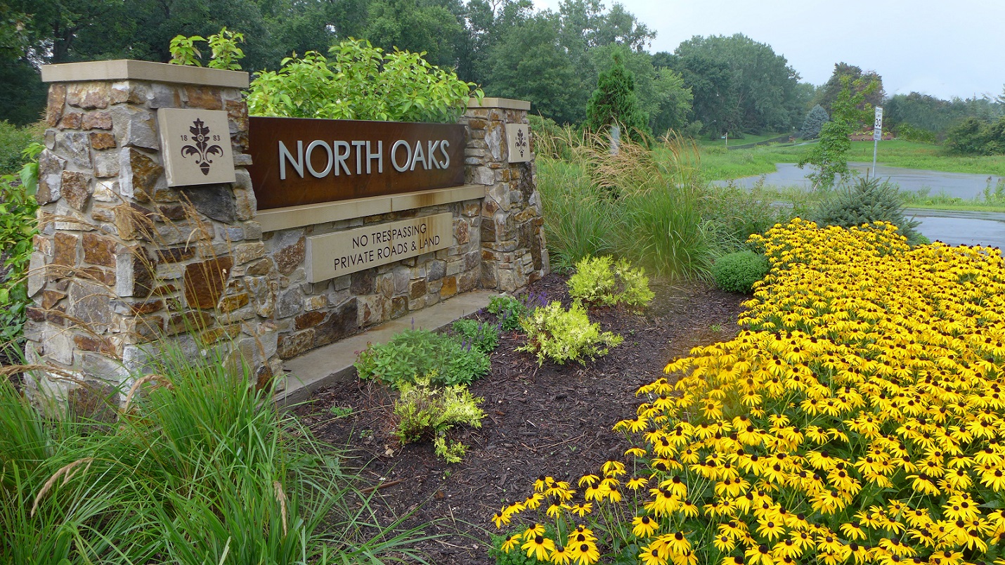
North Oaks Entrance Raingarden
Quick Facts:
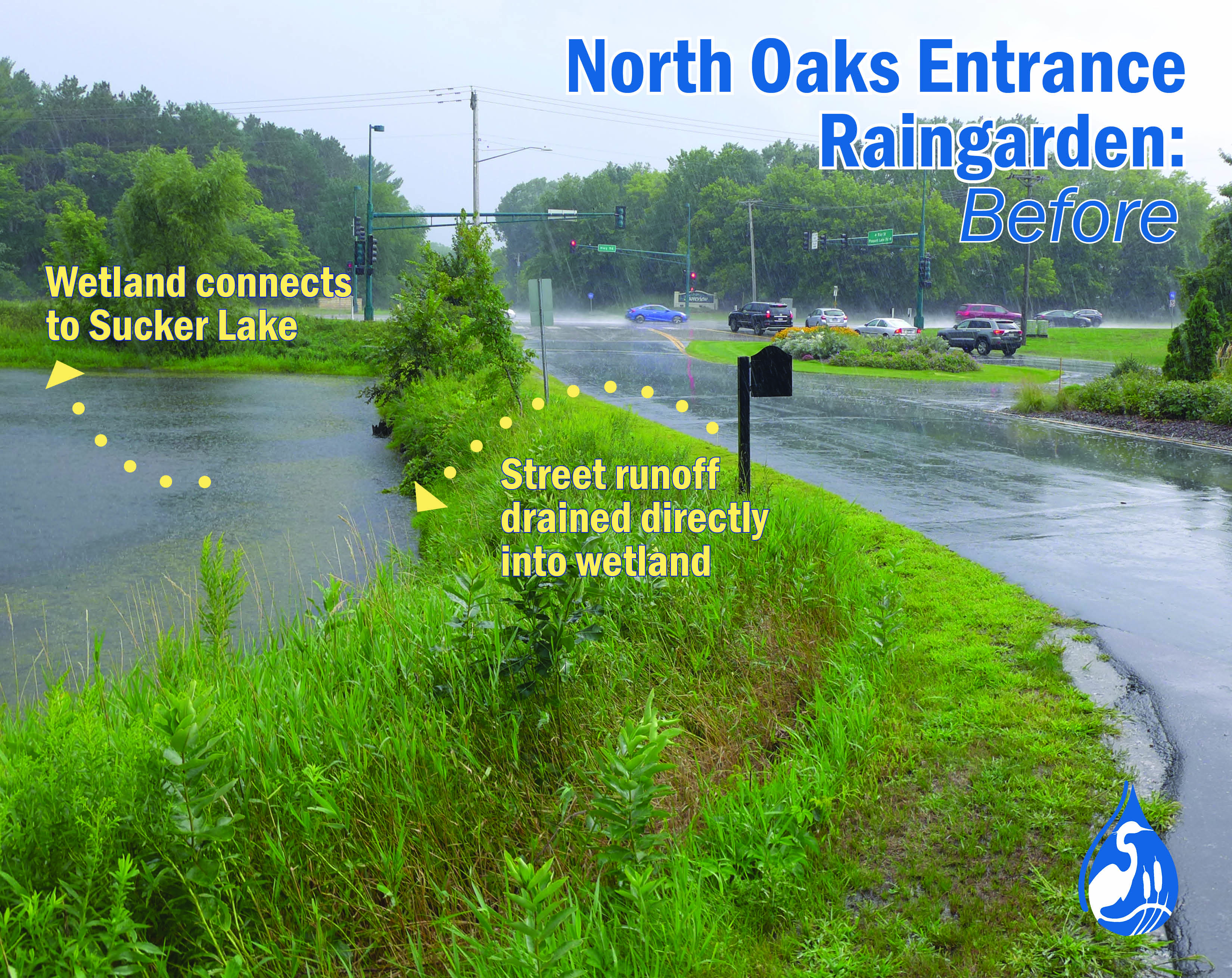
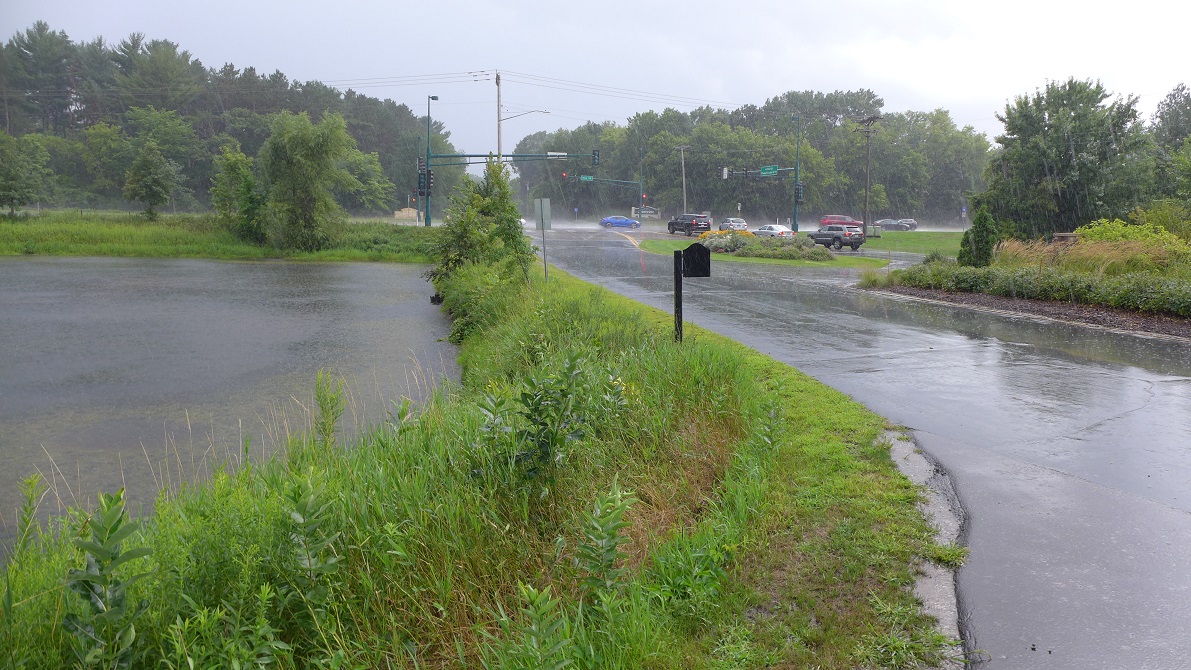
- The North Oaks Entrance drains into two nearby wetlands.
- The wetlands connect to Sucker and eventually East Vadnais Lake.
Funding:
This effort was funded through a combination of VLAWMO Landscape Level 2 grant funds and the North Oaks Home Owner’s Association.
Reason for project:
- To beautify the entrance.
- To take a comprehensive approach to support NOHOA’s stormwater and environmental stewardship goals.
- To address erosion occurring on the sides of the entrance road and side slopes of the two surrounding wetlands.
- To harness stormwater from the entire entrance area and treat it before discharging to the rest of the watershed.
- To reduce turf and pavement areas in favor of Minnesota native perennial species
- To exemplify raingardens to others at a high visibility location.
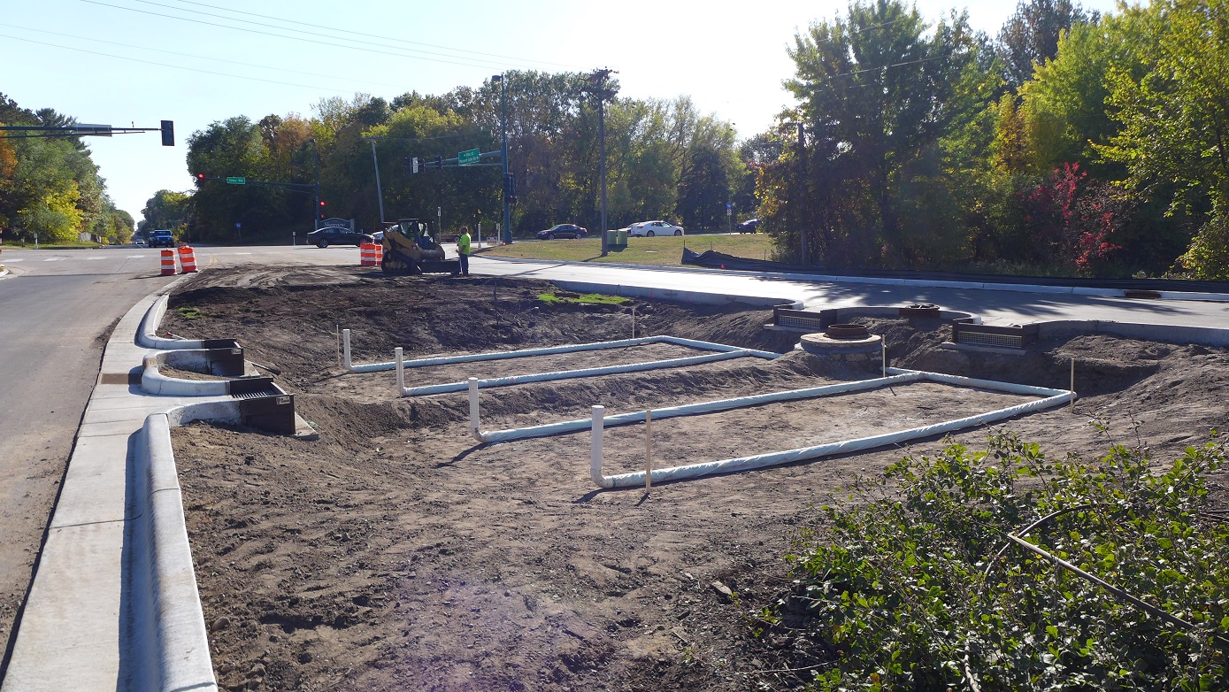
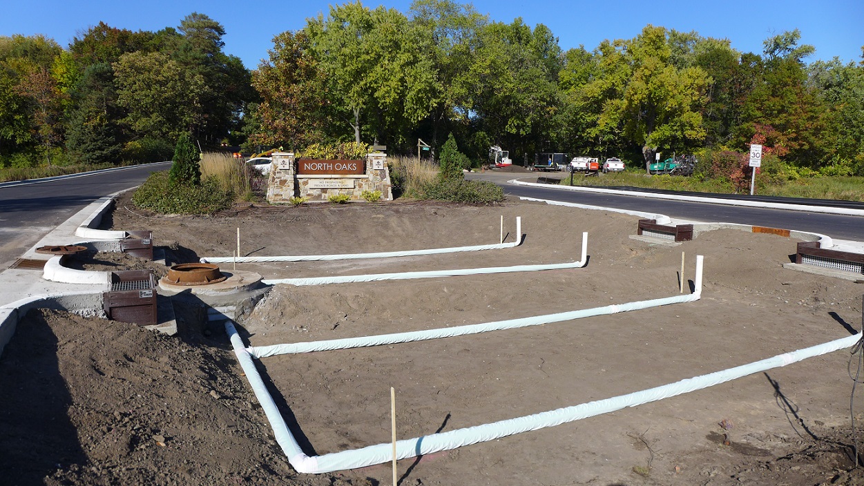
Construction:
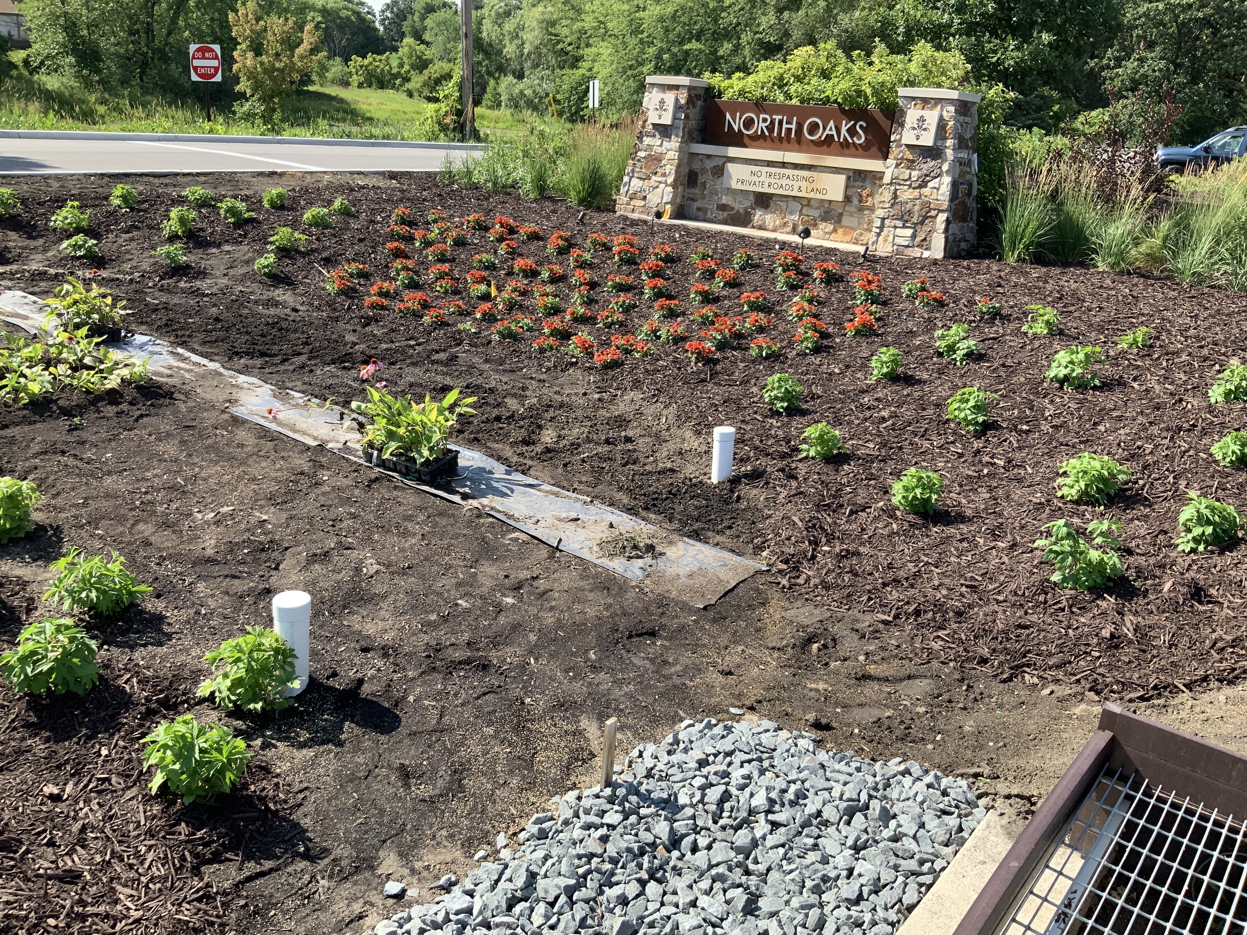
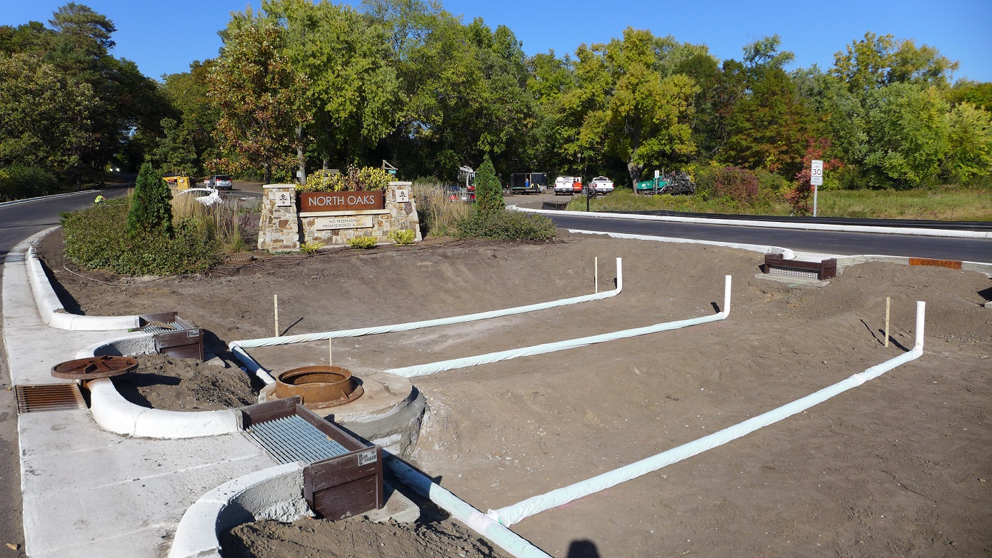
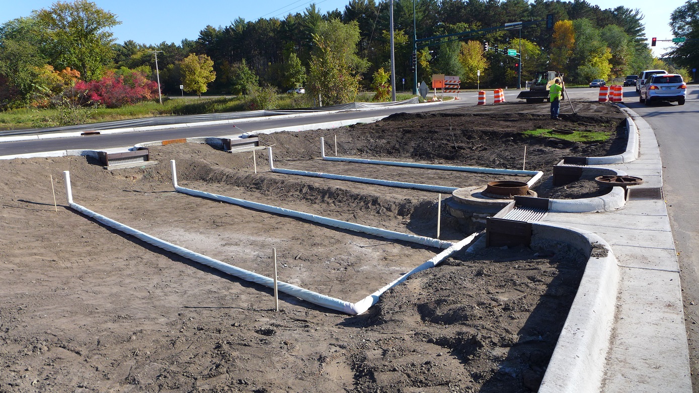
- Construction timeline: September '22. Planting: Fall ’22 or Spring ’23.
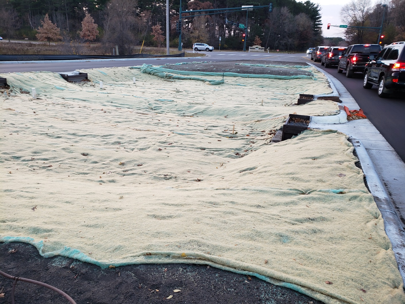
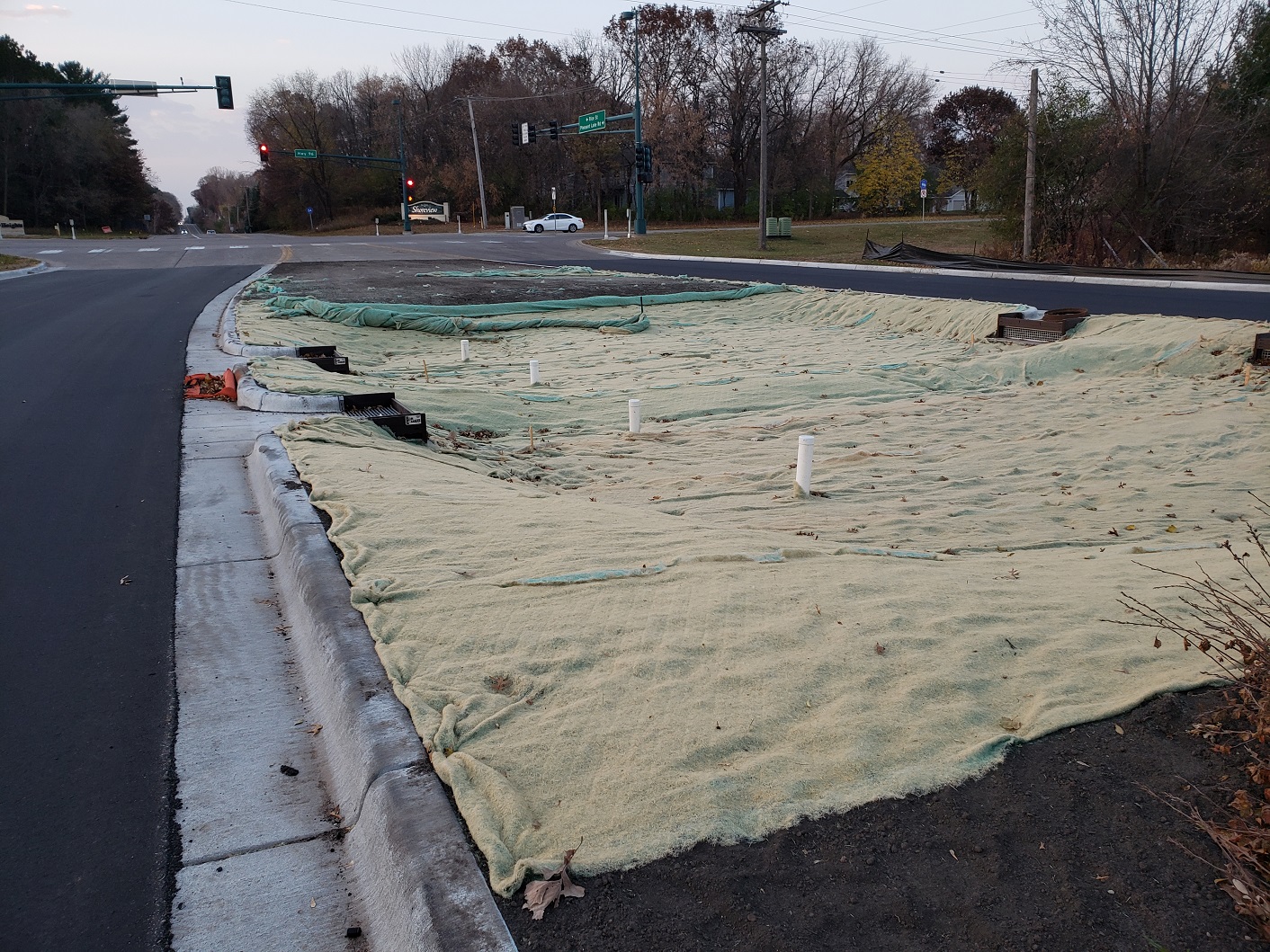
- Soil replacement, erosion control blankets, coir (coconut husk) logs, and plantings will stabilize the existing erosion along the road sides.
- The raingarden basin will get excavated to about 12” deep and re-filled with a rich, absorbent compost soil.
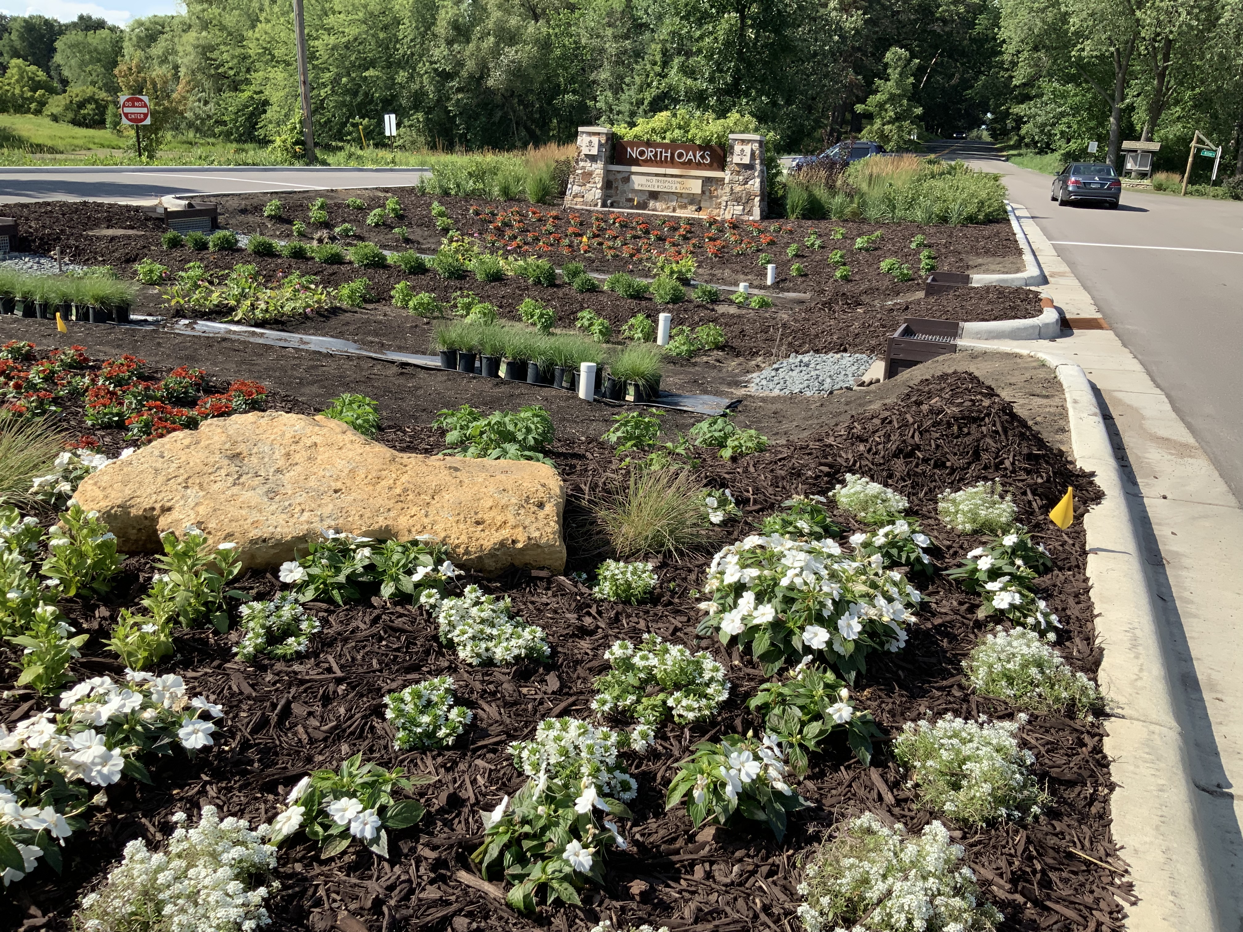
- The raingarden will include four “rain guardian” catchment devices to filter stormwater from the road before it enters the basin and wetlands. These devices help catch large debris and sediment, and are periodically cleaned out to keep sediment from accumulating.
- An existing stormdrain catchment that takes water from the road directly into the adjacent wetland will be modified into a solid, closed lid.
- Instead of going through the conventional stormdrain, stormwater will move through the raingarden basin.
- An underground drain tile will take any water that does not soak in from the bottom of the raingarden basin into the adjacent wetlands. An additional overflow feature will prevent water from ponding on the road during strong rain events.
Results:
- A slower stormwater discharge that helps reduce peak flows downstream.
- Valuable storage and filtration upstream from a municipal drinking water resource.
- Improved soil health through the introduction of native plant root systems
- Annual reductions into receiving waterbodies: Total suspended solids: 156.6 lbs/yr Total Phosphorus: 1.9 lbs/yr

Project Image Gallery
|
|
|
|
|

|

|
|

|

|
|
|

|
|
|
|
|
Search projects
Birch Lake Aquatic Invasive Species Efforts
Efforts to remove Eurasian Watermilfoil and Curly-leaf Pondweed
4th and Otter Woodland Restoration
A woodland restoration at a key location adjacent to Birch Lake in White Bear Lake.
Birch Lake Sand-Iron Stormwater Filter
An iron-enhanced sand filter at the intersection of 4th St. and Otter Lake Road. The filter helps reduce nutrients entering Birch Lake with stormwater runoff.
Birch Lake North Shoreline Restoration
A 150 foot stretch of lakeshore on Birch Lake, in White Bear Lake was improved in the summer of 2010. In 2011-2012, an additional 700 feet of shoreline was restored on either side of the original planting area.
Charley Lake Channel Restoration
The channel between Charley Lake and Pleasant Lake in North Oaks was showing signs of serious erosion.
Deep Lake Channel Restoration
This project will restore approximately 125 feet of shoreline in the Deep Lake Channel, just before it enters Pleasant Lake. The project will be completed in Fall 2015.
 Contact us
Phone: (651) 204-6070
Fax: (651) 204-6173
Email: office@vlawmo.org