Vadnais Heights Rotary Raingarden
Quick Facts:
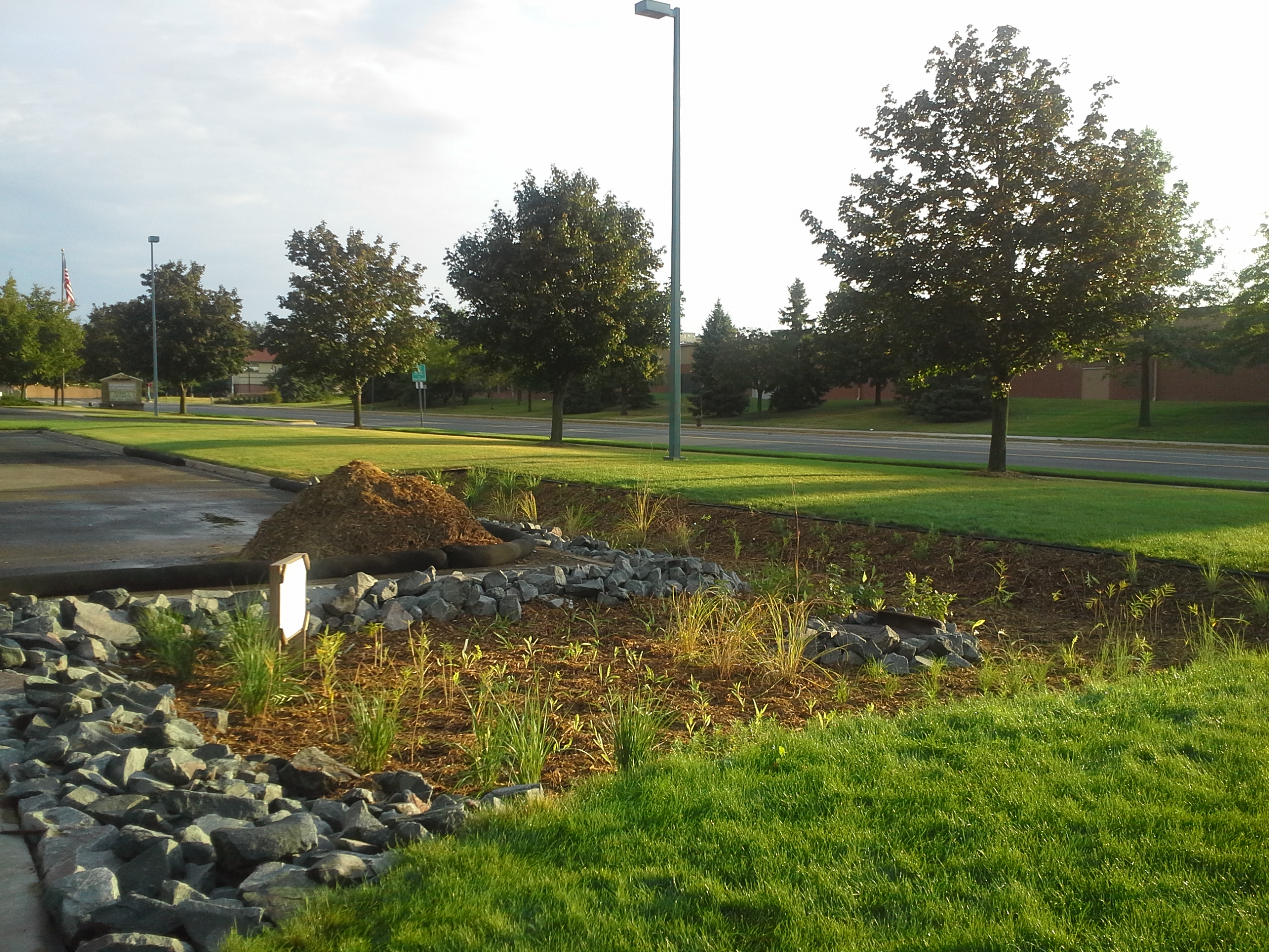
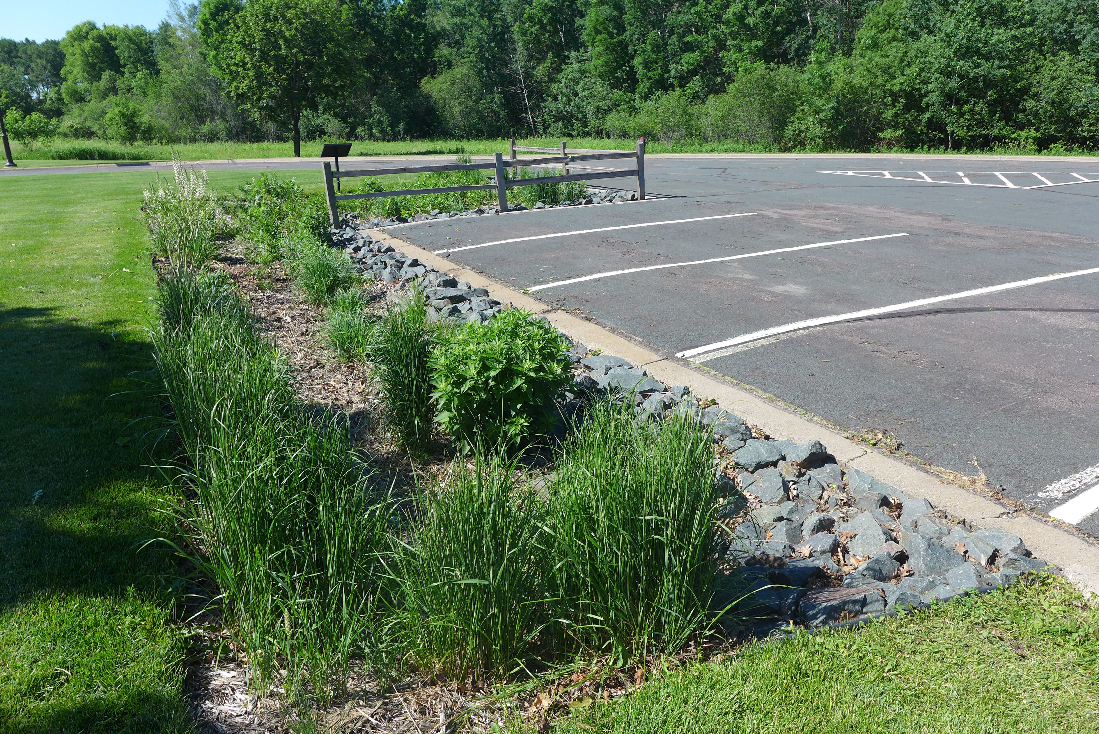
Location: Vadnais Heights Fire Department/City Hall parking lot
Raingarden size: 1,200 sq ft
Basin depth: 1.5 ft
Subwatershed: East Vadnais Lake
Year built: 2013
Funding:
The Vadnais Heights Rotary applied for VLAWMO Community Blue funding for the project in 2011. The grant was a awarded for $16,500. At this time, Community Blue was a program connected to special funding from the Minnesota Board of Water and Soil Resources (BWSR). Community Blue’s grant program has since been reorganized to focus on smaller education and demonstration efforts, and is independent from BWSR.
Reason for Project:
The project was built to reduce stormwater runoff, nutrients, and sediment from draining into a nearby wetland and eventually into East Vadnais Lake. Raingardens such as this help reduce stress on local ditch systems and stormdrains, and support clean water and healthy aquatic habitats.
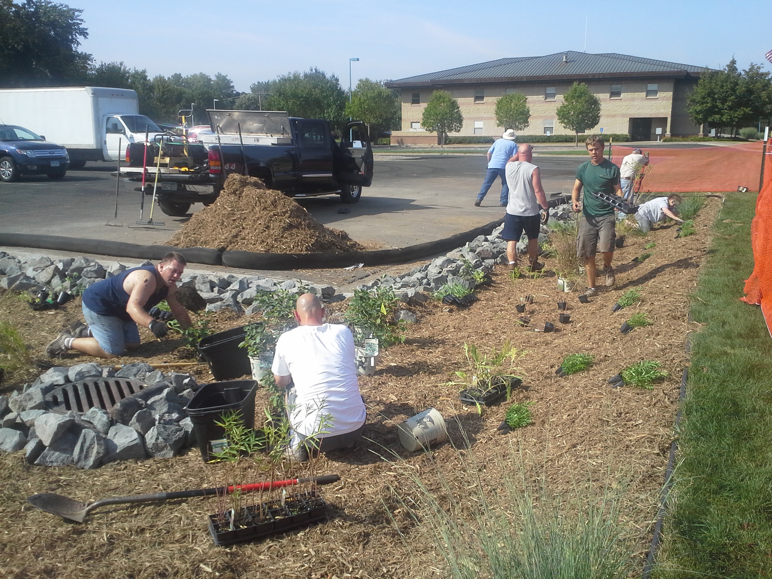
Construction:
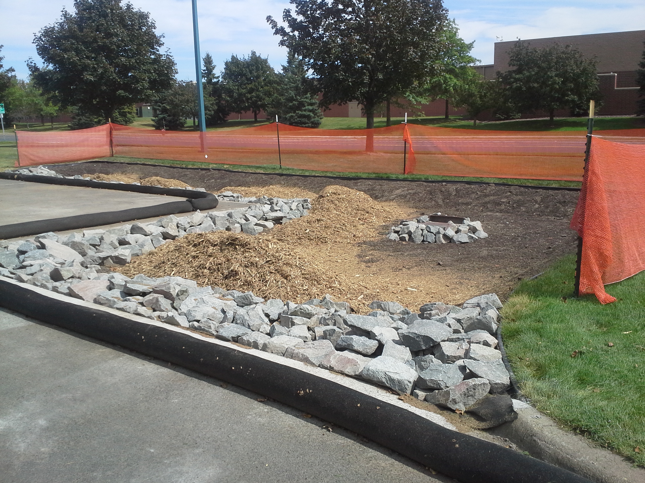
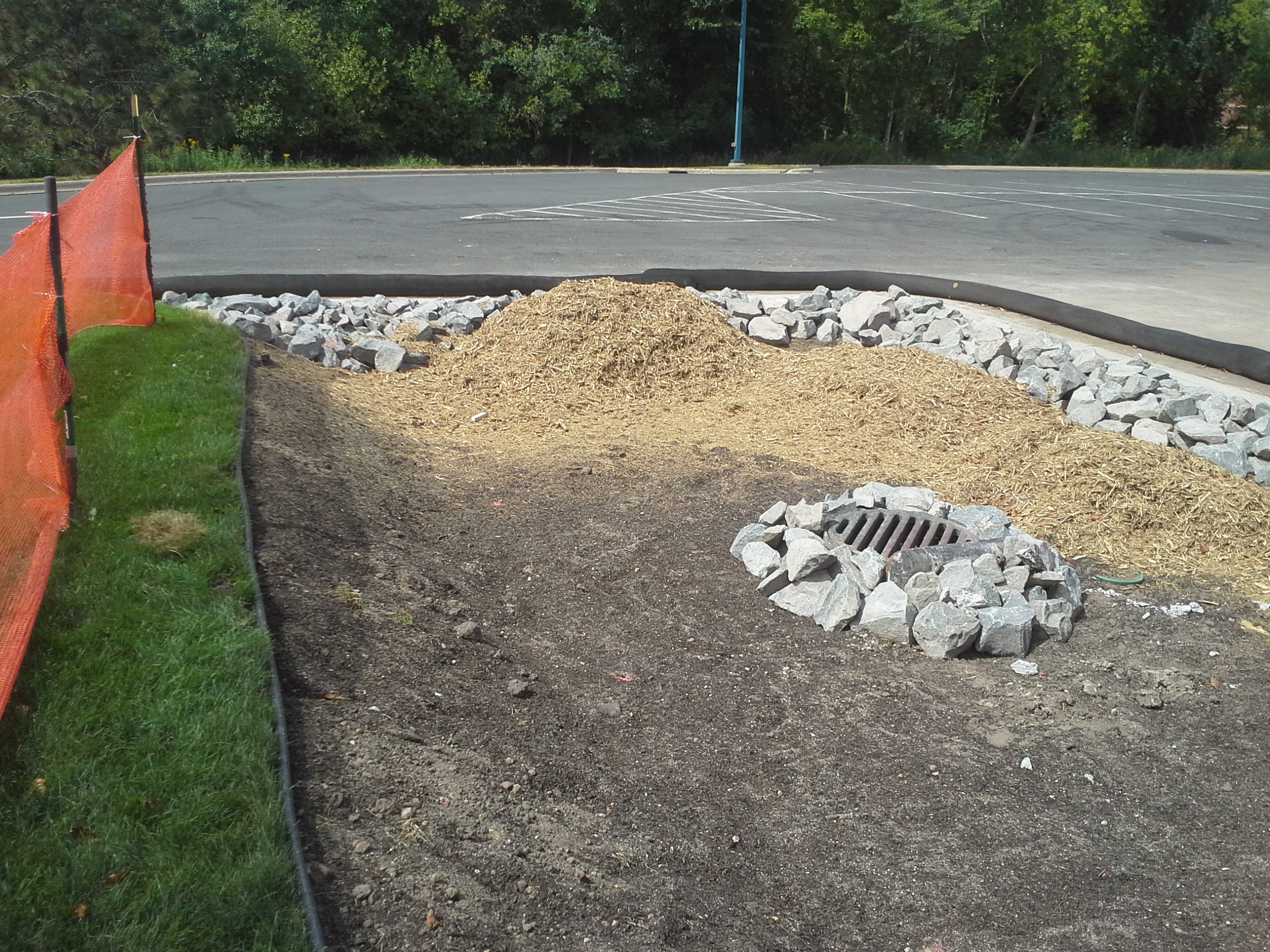
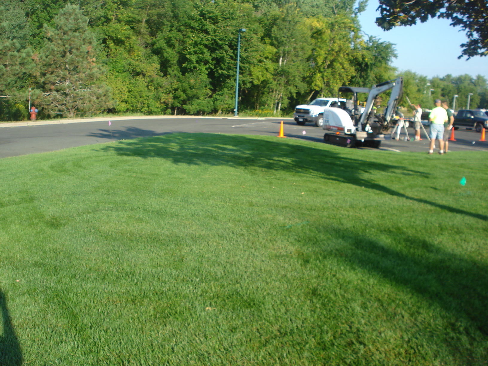
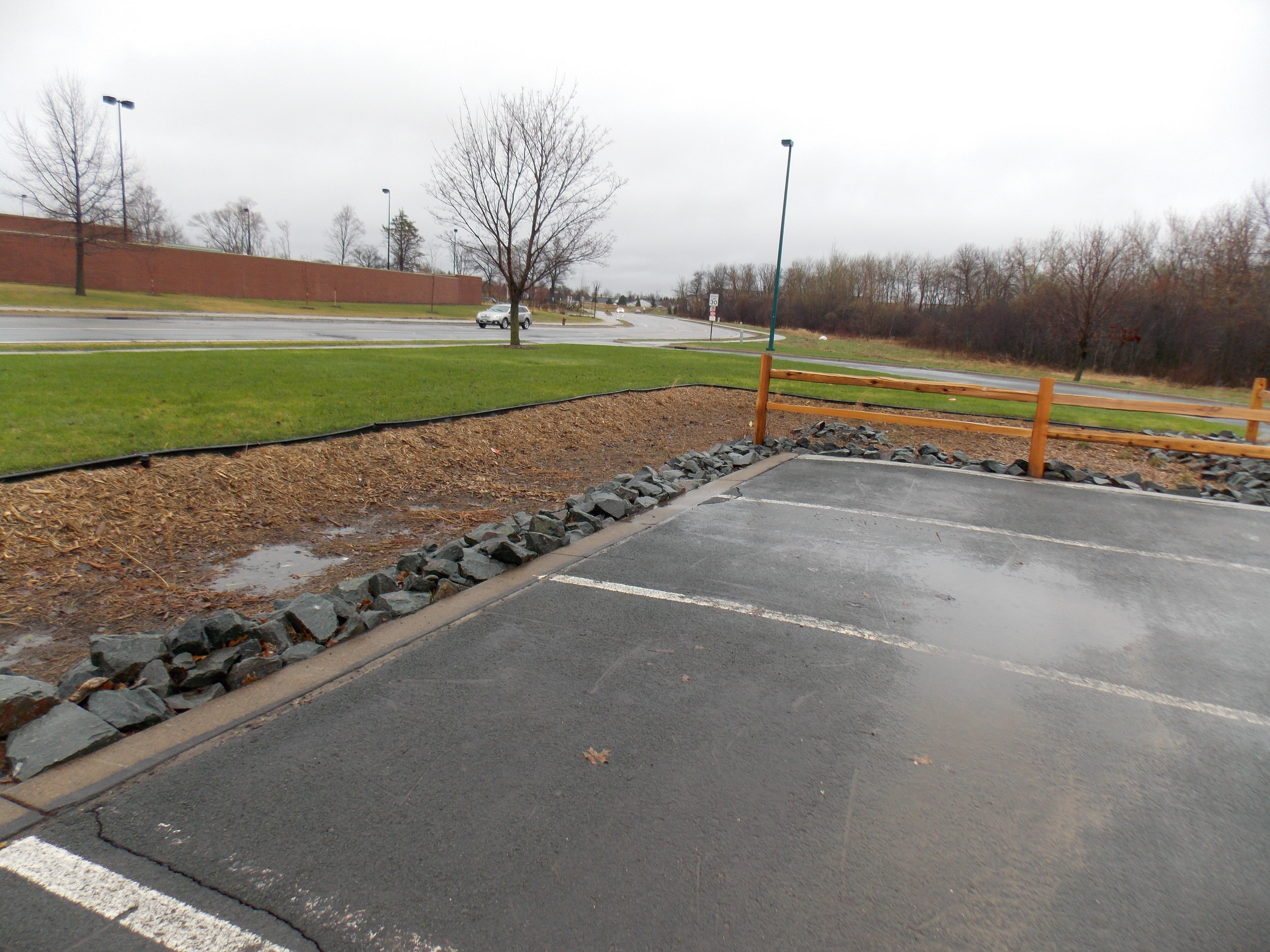
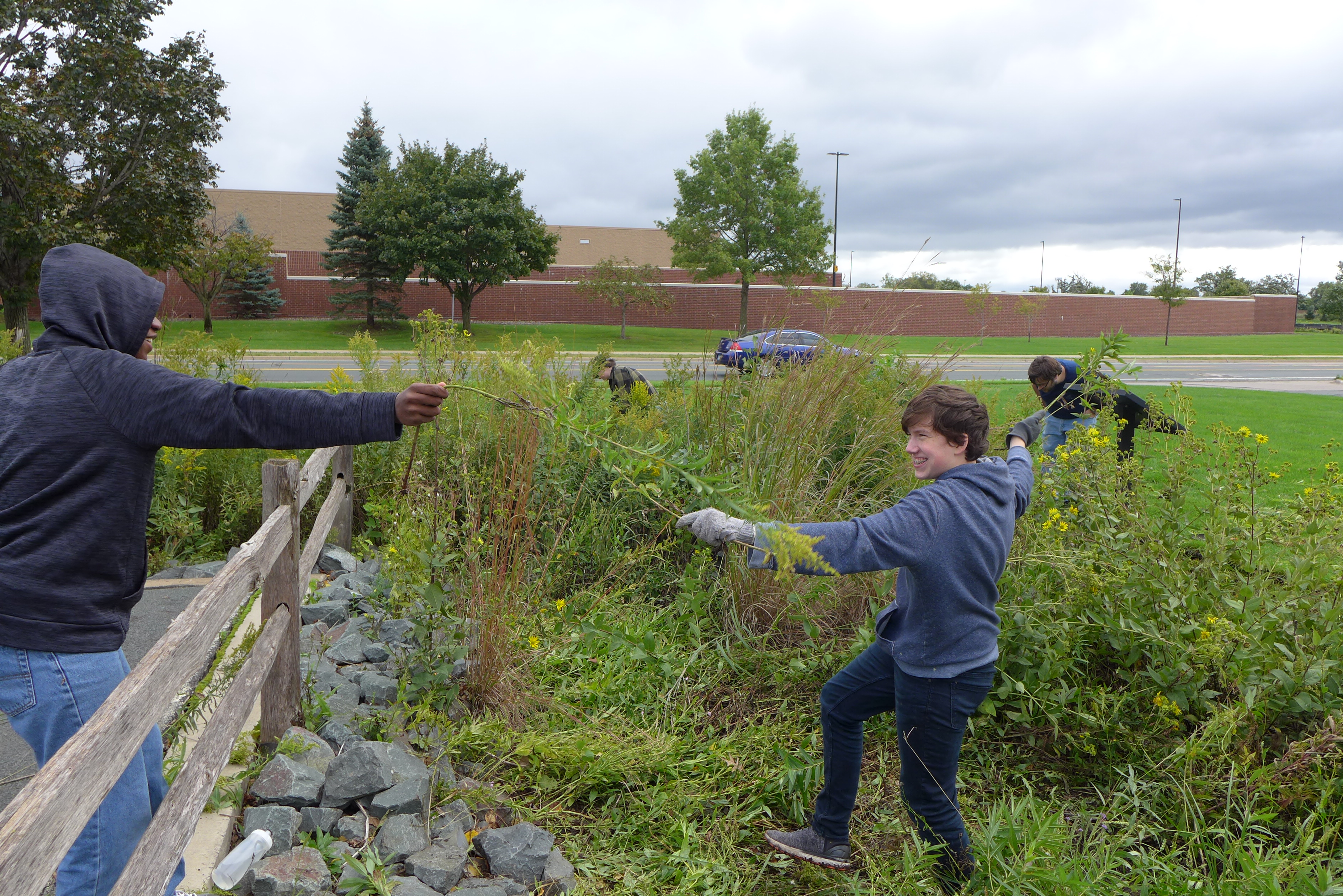
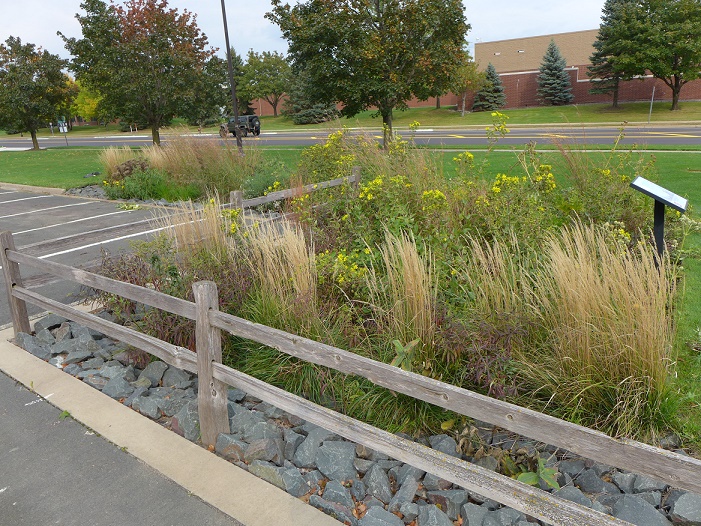
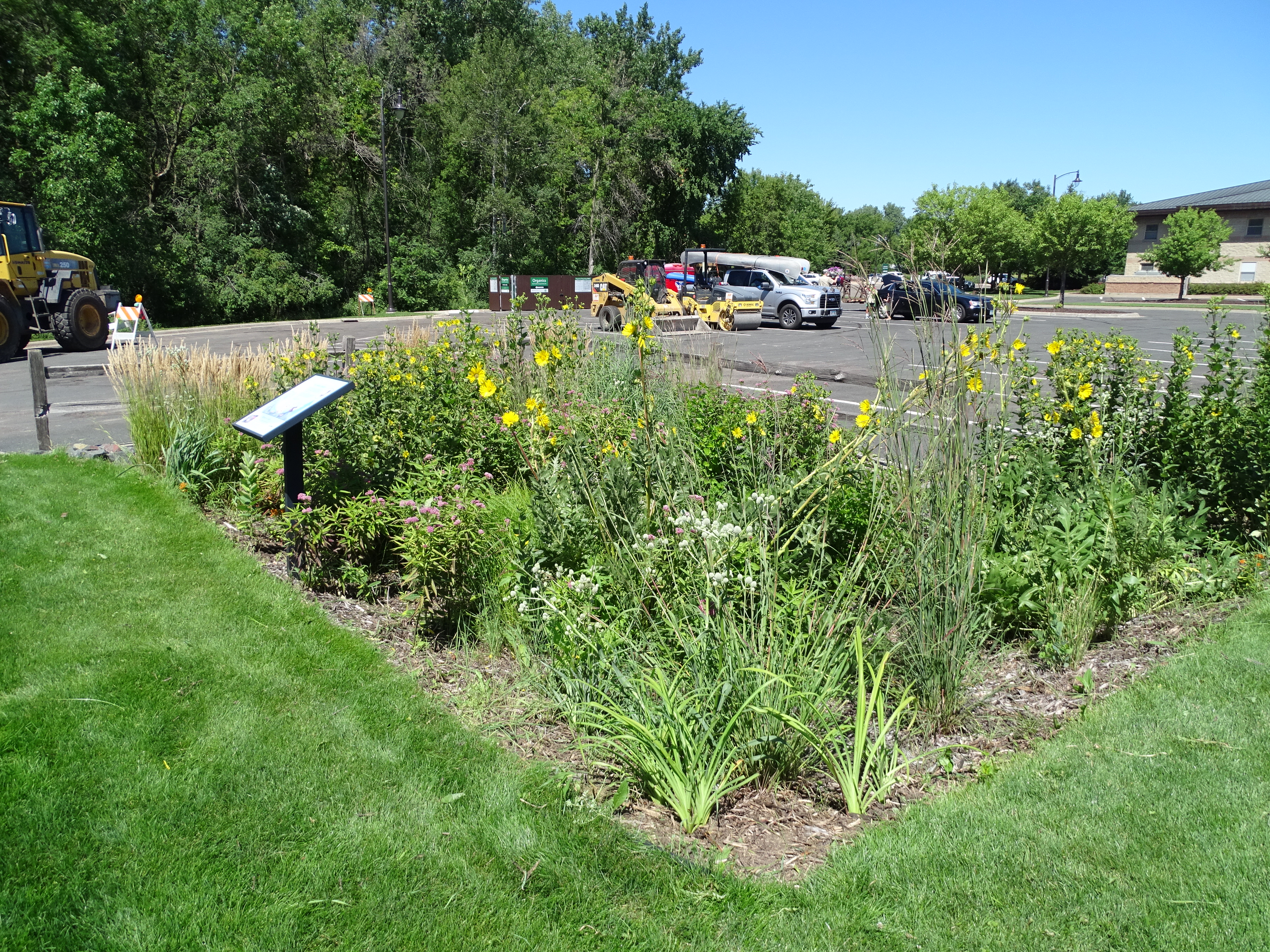
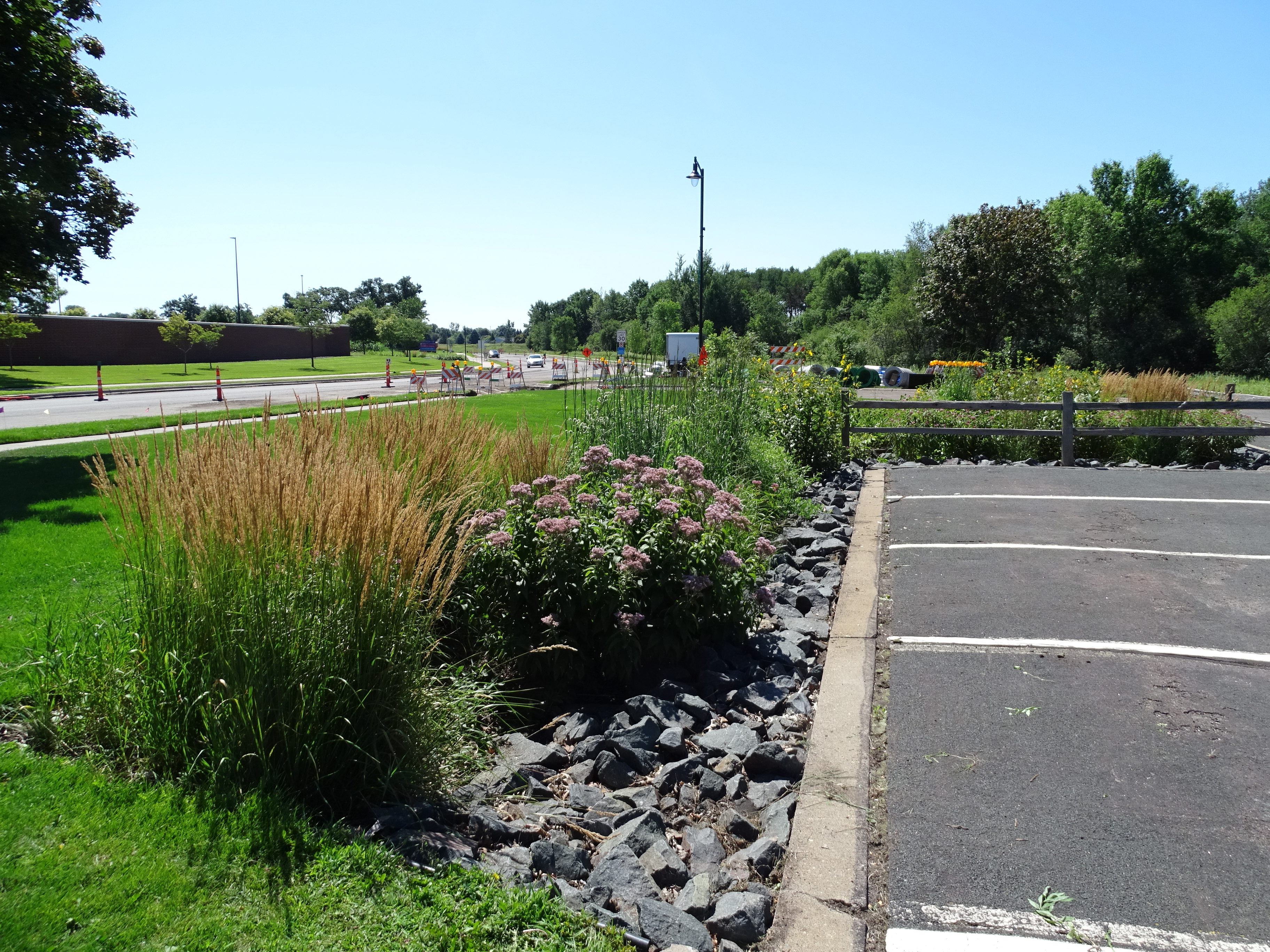
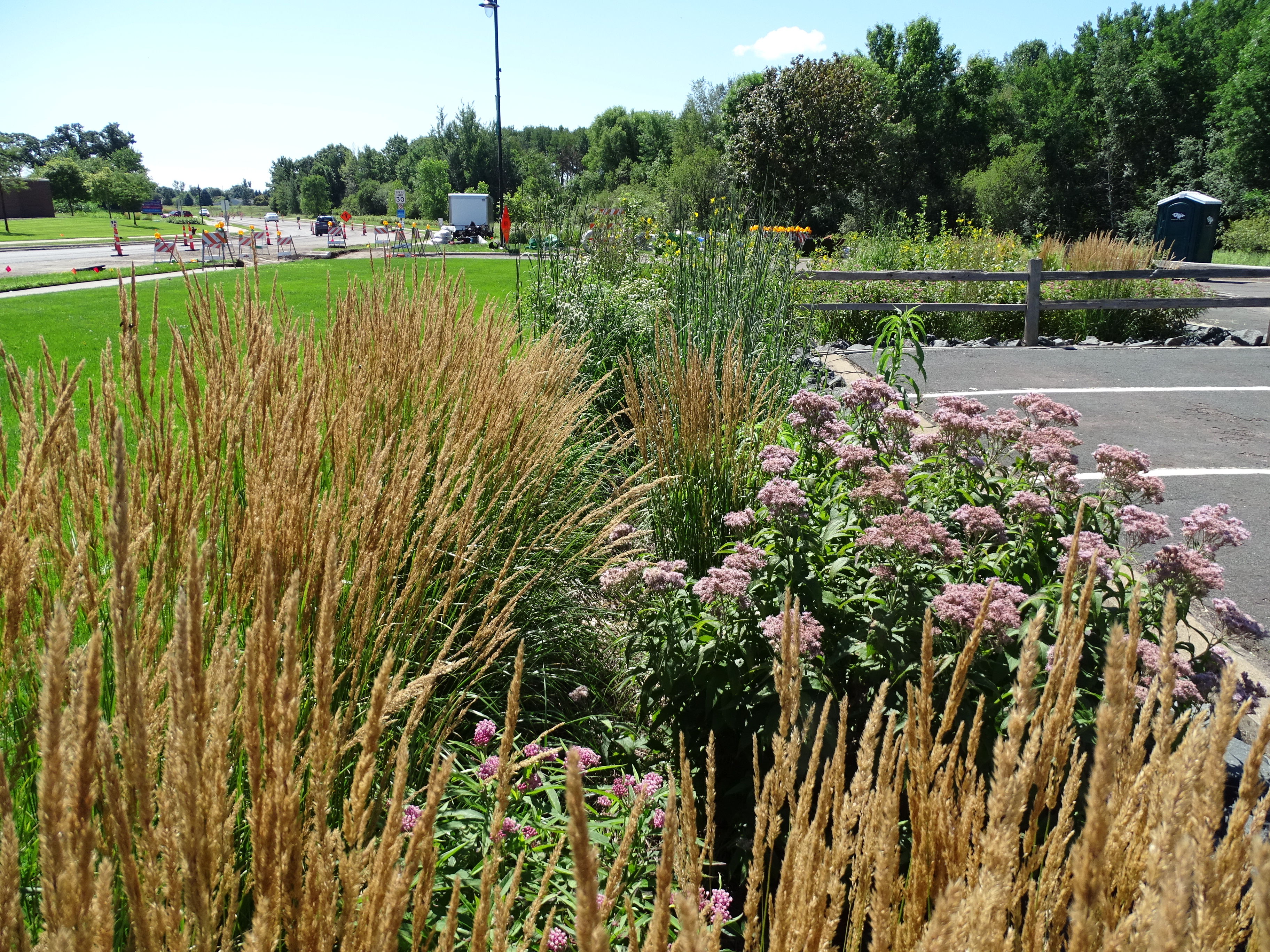
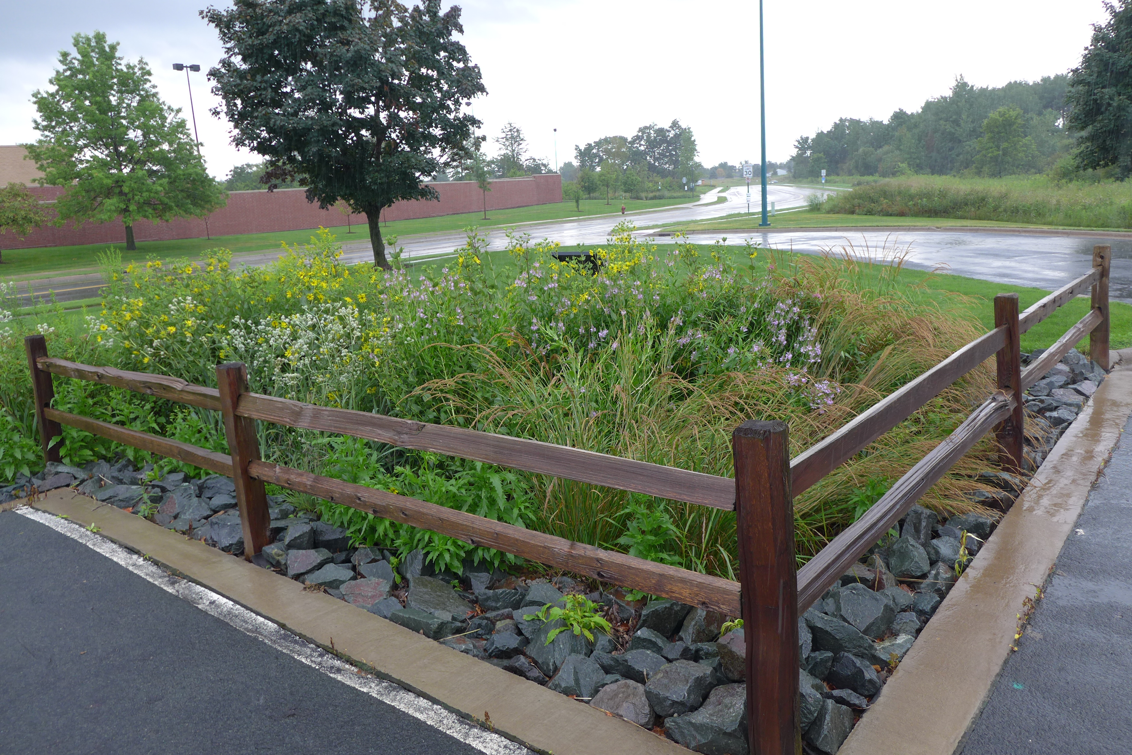
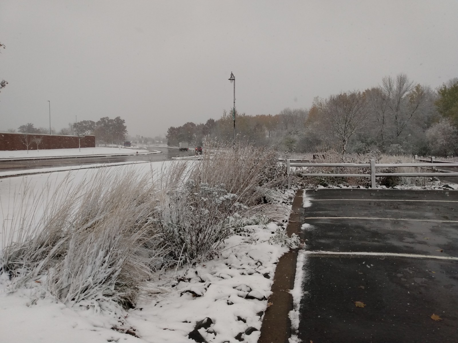
Nelco Landscaping was contracted for project design and construction was completed by Nelco staff and Vadnais Heights Rotary volunteers. The raingarden is positioned on the edge of the Fire Department parking lot, and is designed to capture sheet flow during a rain event. Water flowing like a sheet across the pavement surface enters the raingarden’s wide collection area, which is flush with the parking lot surface. A zone of trap rock serves to stabilize the soil where water is draining in, and an overflow feature directs water into the stormdrain system when the garden is full.
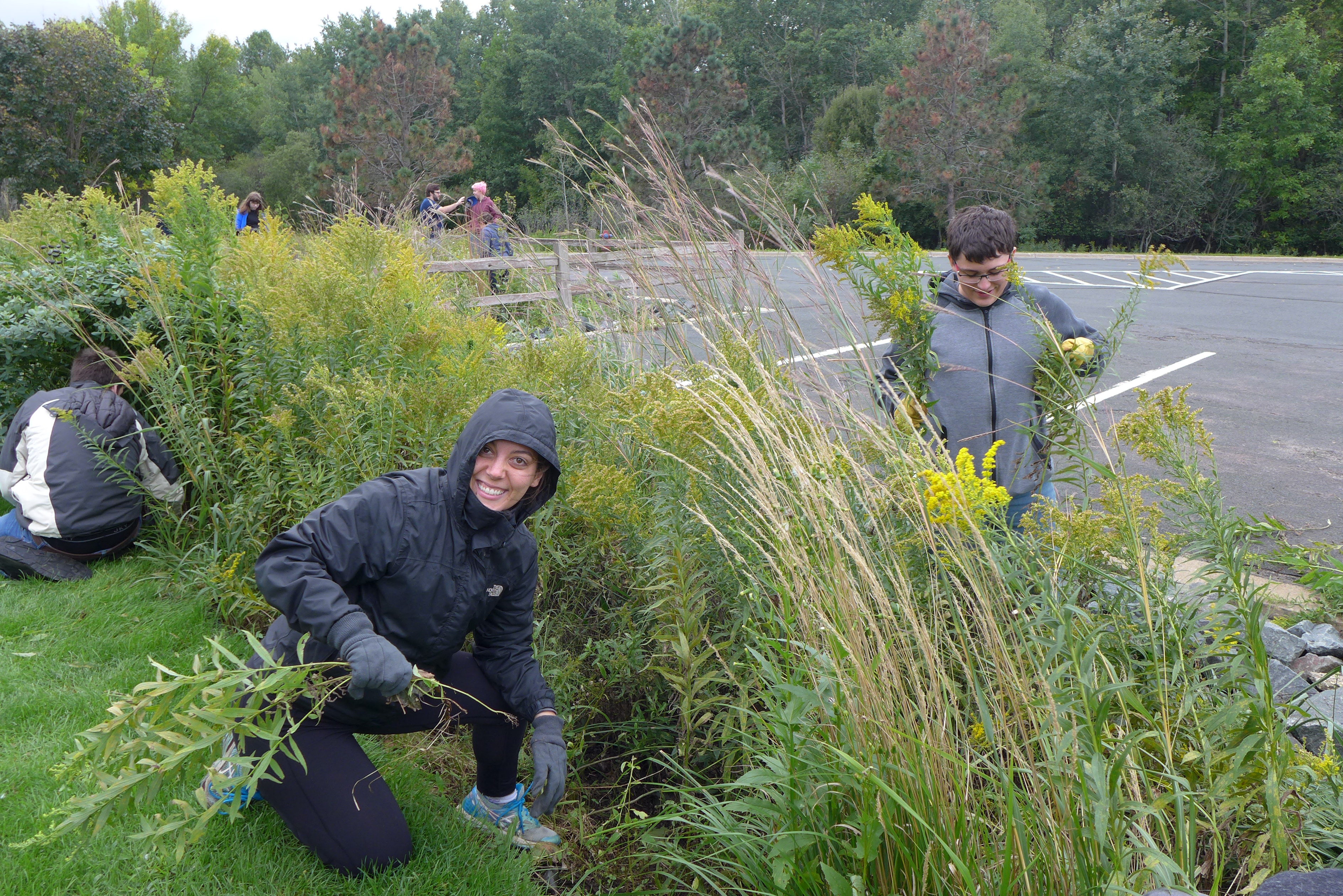
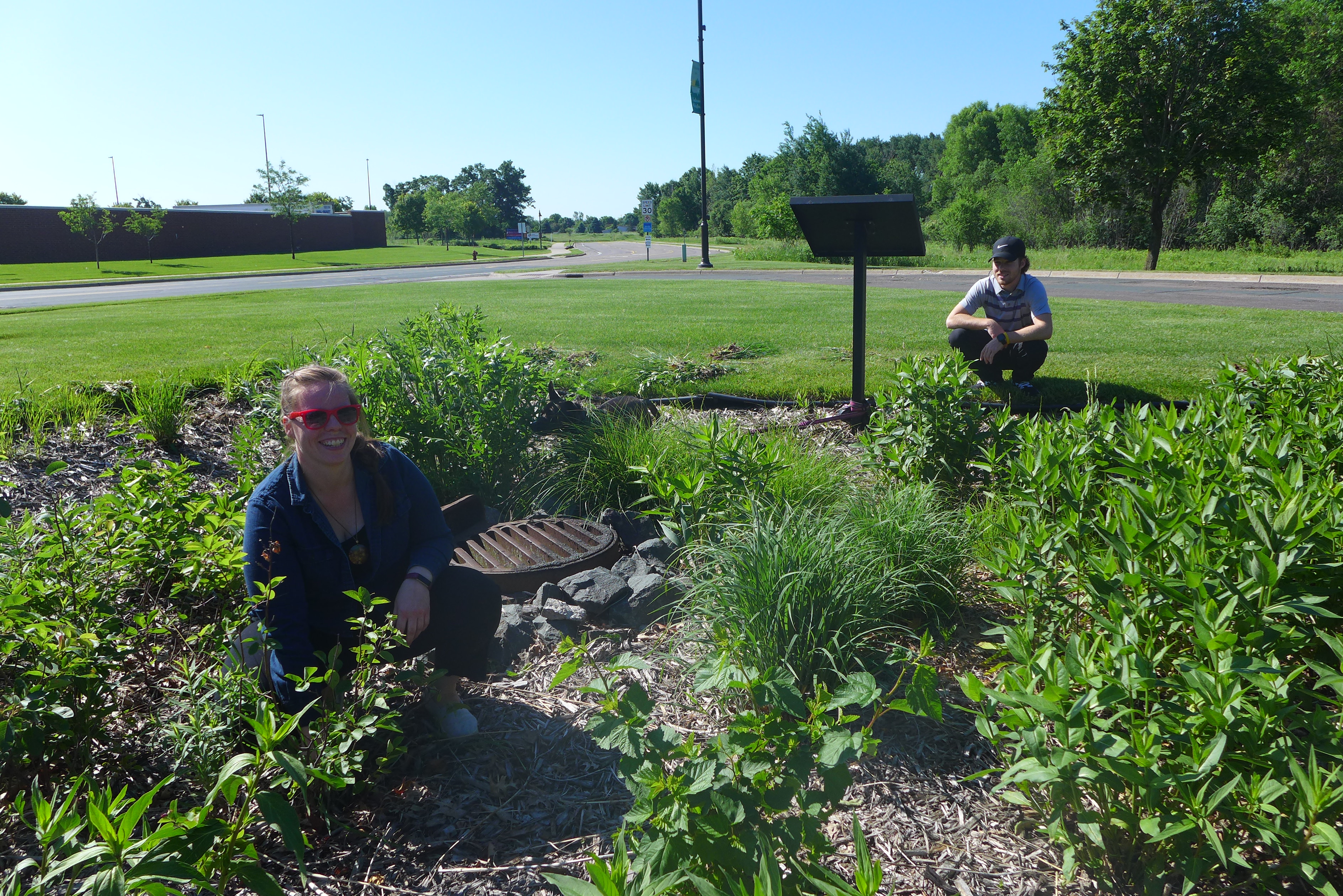
The Vadnais Heights Rotary has since dissolved, and the raingarden is now maintained by City of Vadnais Heights staff under the adopt-a-raingarden program.
Native plants in the raingarden include big blue stem, June grass, Pennsylvania sedge, rattlesnake master, false indigo, ninebark, dogwood, compass plant, rosinweed, swamp milkweed, and sneezeweed (not actual “weeds”).
Results:
Annual stormwater volume collection: 25,593 cu ft/yr
Total phosphorus reduction: .35 lbs/yr
Sediment reduction: 207.83 lbs/yr
Pollinator habitat for bees, birds, and butterflies

Project Image Gallery
|
|
|
|
|

|
|
|
|
|
|
|
|
|
|
|
|
Search projects
Birch Lake Aquatic Invasive Species Efforts
4th and Otter Woodland Restoration
Birch Lake Sand-Iron Stormwater Filter
Birch Lake North Shoreline Restoration
Charley Lake Channel Restoration
Deep Lake Channel Restoration
 Contact us
Phone: (651) 204-6070
Fax: (651) 204-6173
Email: office@vlawmo.org