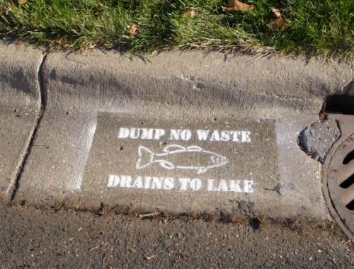
RESOURCES FOR LOCAL GOVERNMENT
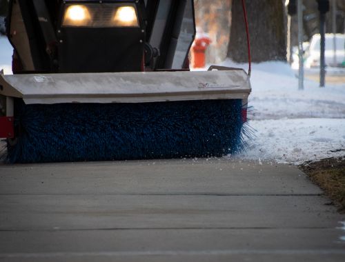
Support and resources for stormwater permitting.
![]()
Subscribe to VLAWMO's MS4 email newsletter for workshops, resources, and updates in municipal water management.
Read more

GENERAL RESOURCES
NEWS
West Vadnais Outlet Project EAW: Record of Decision
The VLAMWO Board of Directors decides a Negative Declaration on the West Vadnais Lake Outl…
West Vadnais Proposed Project: Comments Requested
A project proposal is being submitted to State agencies to address flooding issues surroun…
VLAWMO Becomes a Priority Watershed
Through a robust selection process, VLAWMO is excited to announce our standing as a priori…
GENERAL MATERIALS
SWPPP Tips: Feb, 2022
"Help out in a Drought" graphics
Residents and Homeowner's Associations
Landscapers and Gardening Professionals
TECHNICAL DOCUMENTS
Documents:
- Total Maximum Daily Load (TMDL), Sustainable Lake Management Plans (SLMP's), and retrofit studies
- VLAWMO Water Policy
- Wetland Buffers: The Basics
- Summary of Buffer Requirements from the VLAWMO Water Policy
Presentations:
VLAWMO City Summit: 3/10/20
 Contact us
Phone: (651) 204-6070
Fax: (651) 204-6173
Email: office@vlawmo.org