VLAWMO's wetlands were formed up to 12,000 years ago by glacial activity. As glaciers receded, depressions and glacial outwash were left on the land. Because the region is relatively flat, glacial meltwater and sediment dispersal formed thousands of wetlands across the landscape.
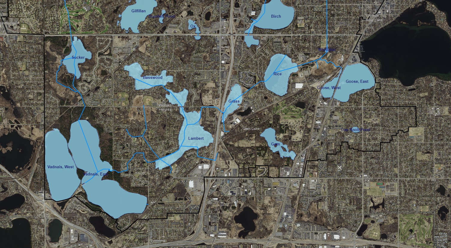
The VLAWMO watershed contains over 500 wetlands ranging from large wetland preserves to small ponds. A wetland can hold water year-round or just part of the year, both of which influence vegetation, watershed storage capacity, and the movement of water across the surface and into the ground.
Minnesota has lost over half of its historic wetlands. This occurred through intentional drainage and filling of wetlands, channelization, and agricultural ditching. The Minnesota Wetland Conservation Act (WCA) was passed in 1991 to work towards a "no net loss" of Minnesota wetlands.
Today, VLAWMO's remaining wetlands act as valuable resources for water storage, filtration and infiltration, and they help to protect downstream waterbodies such as East Vadnais Lake. But with fewer wetlands and more stormwater generated from hard surfaces such as streets and rooftops, our wetlands work harder than they used to. Efforts to slow down, store, and infiltrate stormwater close to where it falls help support the longevity, storage capacity, and function of our remaining wetlands.
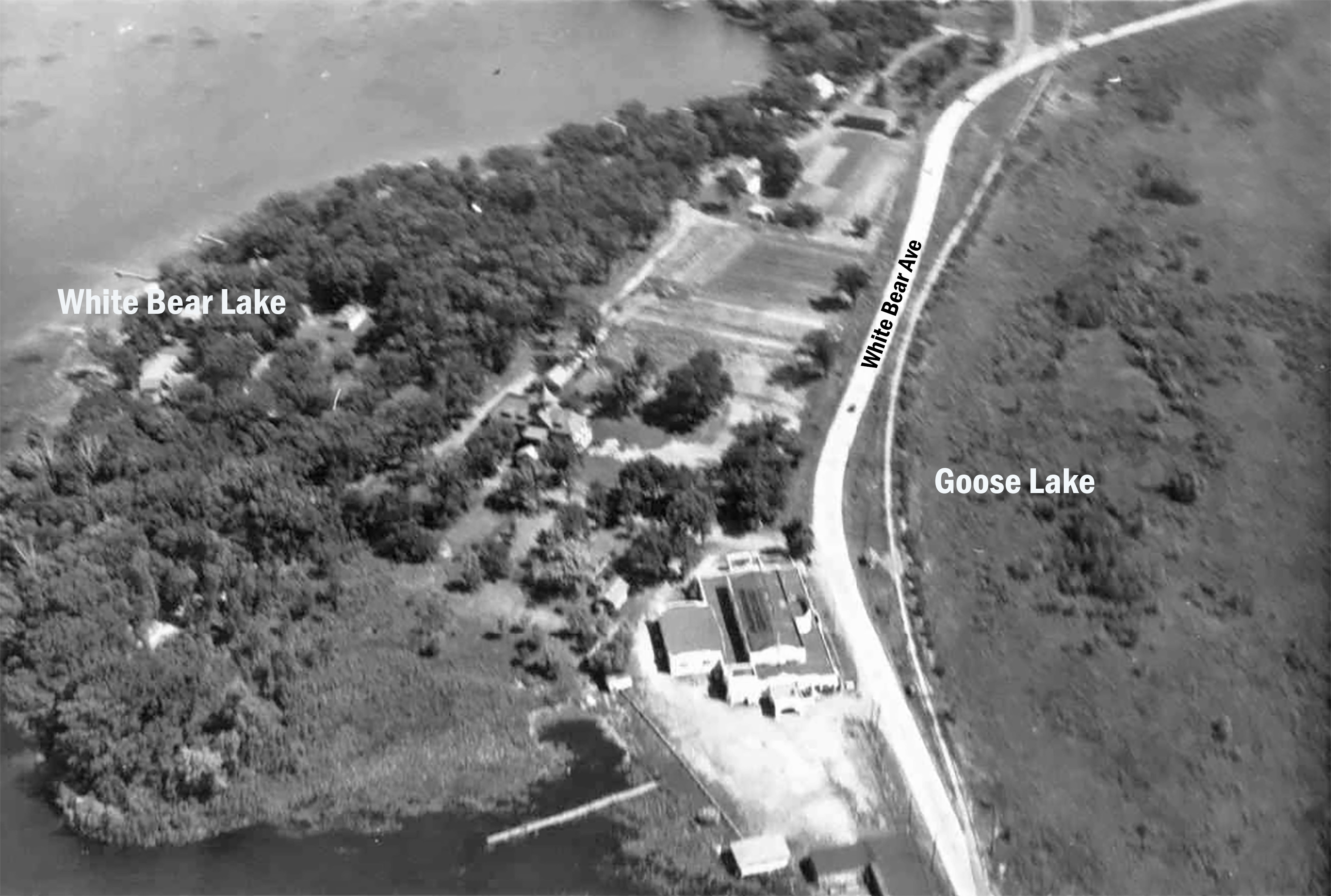
Many local shallow lakes in the Twin Cities metro area historically functioned closer to wetlands than they did deep lakes. This looked like dynamic water levels that fluctuated with the water table. For example, when local shallow lakes were dry in the 1930's, they would often be farmed for hay production. Modern development and stormwater runoff have largely consolidated and altered large wetlands and shallow lakes, which maintains more consistent water levels. However, fluctuations are still possible due to changes in the water table from drought or persistent rain.
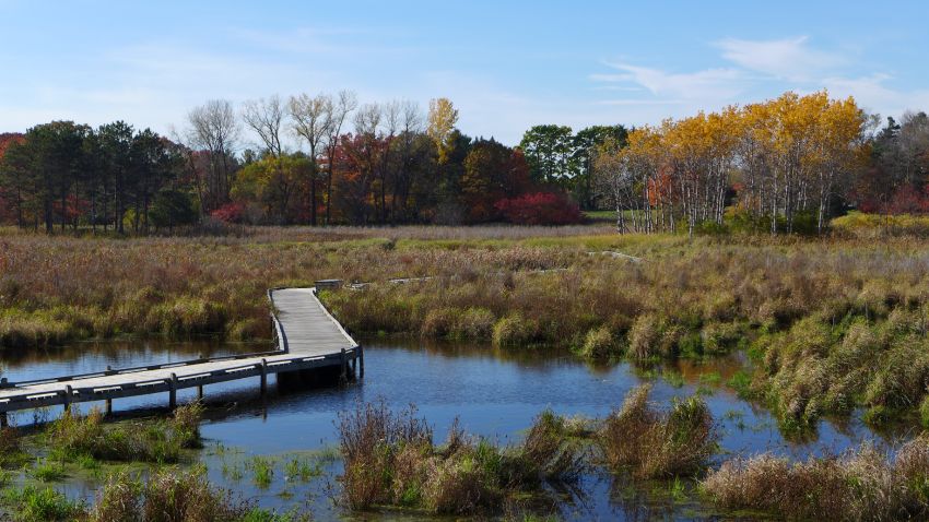
The wetland at the Rotary Nature Preserve in White Bear Lake is one of hundreds of valuable wetlands in the VLAWMO watershed.
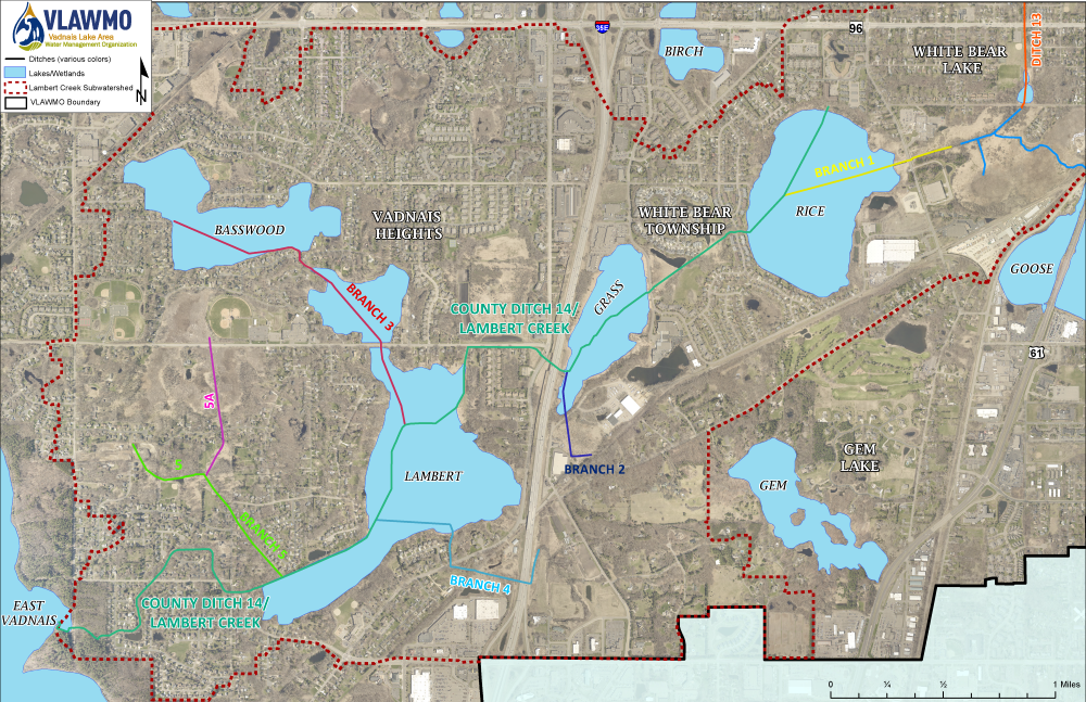
The VLAWMO watershed contains several ditches that act as a water conveyance system. Originally built for agriculture in the 1930's and 40's, the ditches are now part of the modern urban drainage system. VLAWMO's ditch system includes:
- County Ditch 13
- County Ditch 14
- Ditch 14 Branch Ditches 1-5
Authority of Ditches 13 and 14 (collectively known as Lambert Creek) transferred from Ramsey County to VLAWMO in 1986. VLAWMO now serves as the ditch authority for Ditch 13 and 14 under Minnesota Statute 103B. This indicates that VLAWMO is responsible for maintaining a reasonable function of the public drainage system in the watershed. Per the VLAWMO Watershed Management Plan and Public Drainage Policy, VLAWMO plans for ditch surveys, repairs, and cleaning efforts with its municipal member communities.
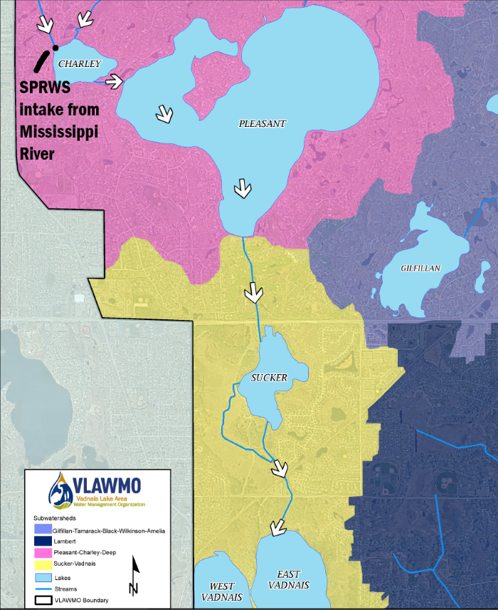
The VLAWMO watershed has a unique connection to the Mississippi River.
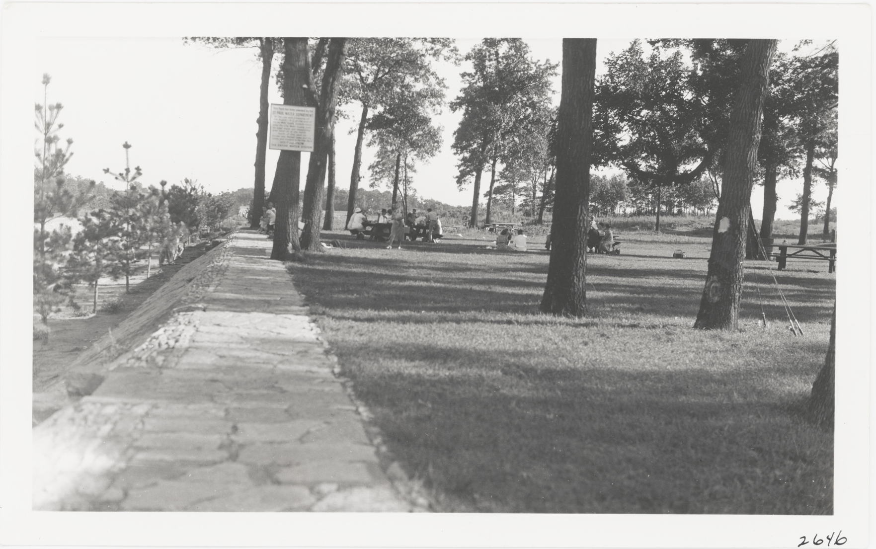
In 1936 the Civilian Conservation Corps (CCC) and the Saint Paul Water Regional Water Services (SPRWS) created a gravity-fed channel system that connected several lakes draining into East Vadnais Lake. Over the decades, the source of water has changed from different upstream sources in present day Lino Lakes to its current connection to the Mississippi River. Two conduits from the SPRWS intake in Fridley direct water into Charley Lake, and the channel system escorts it through Pleasant, Sucker, and East Vadnais. From East Vadnais Lake, water is directed to the Saint Paul water treatment facility on Rice Street and Roselawn Avenue near Lake McCarrons. East and West Vadnais Lakes are distinct waterbodies and not connected. Visit the Water Quality page for a map of the watershed flow directions.
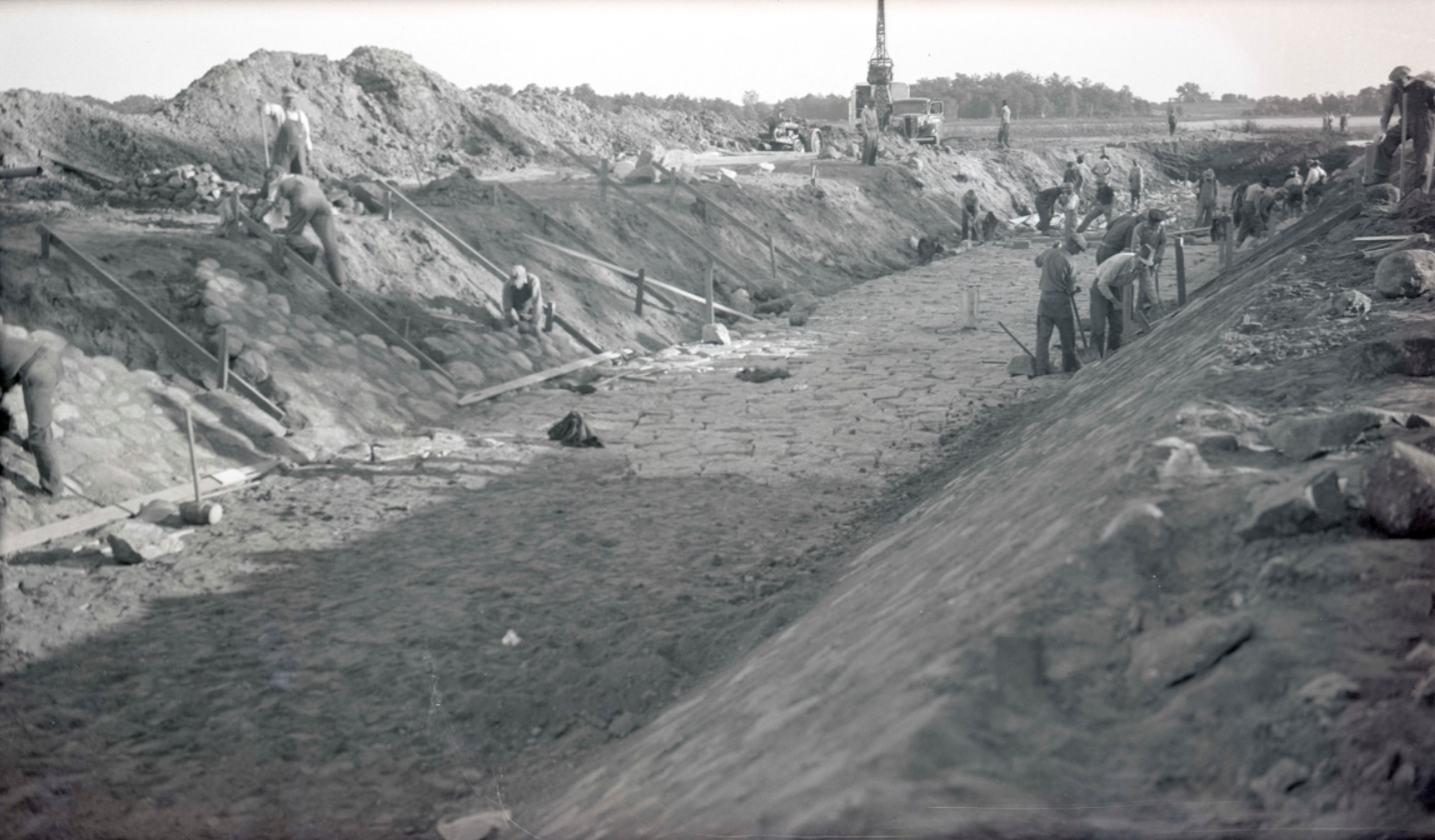
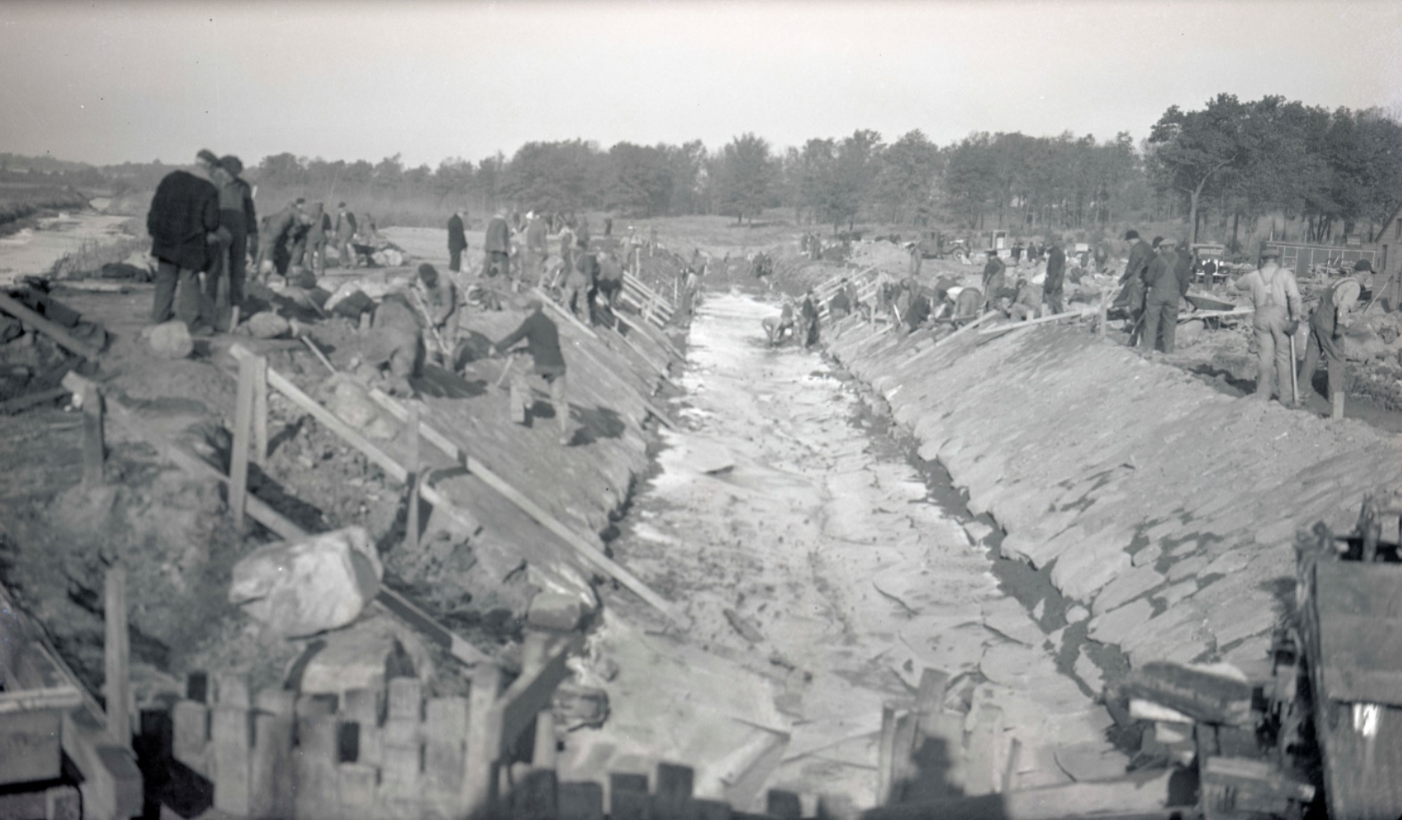
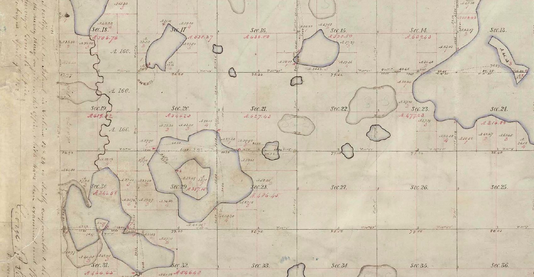
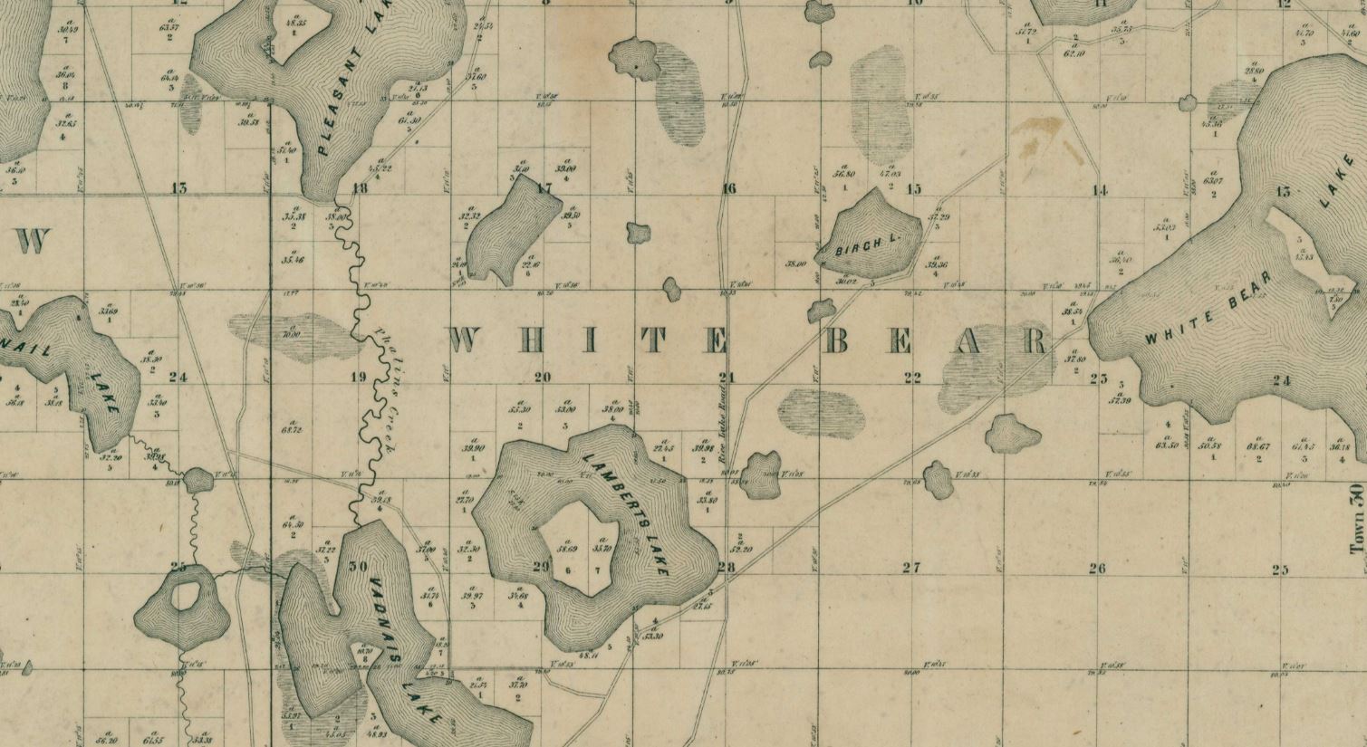
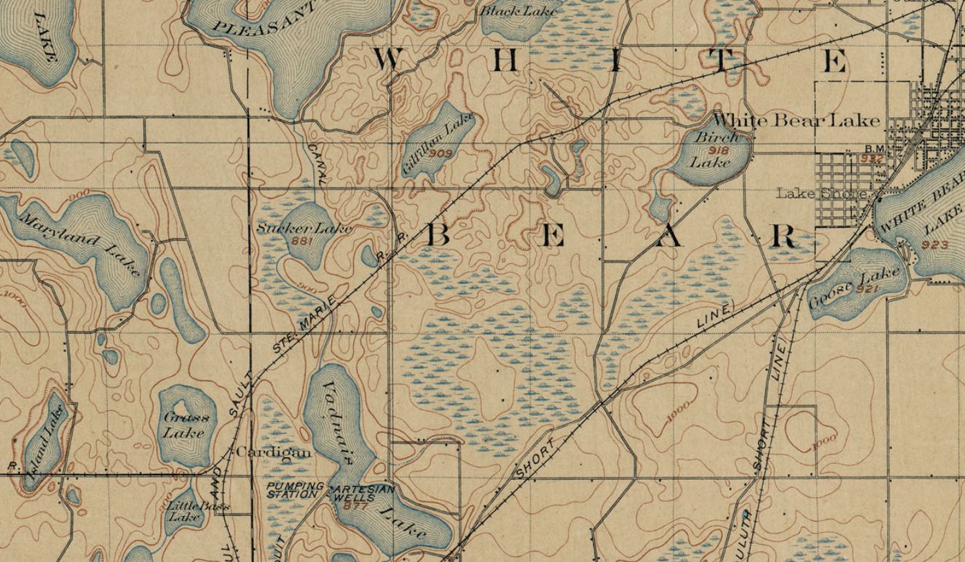
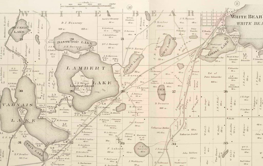
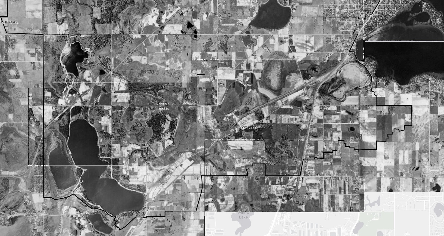
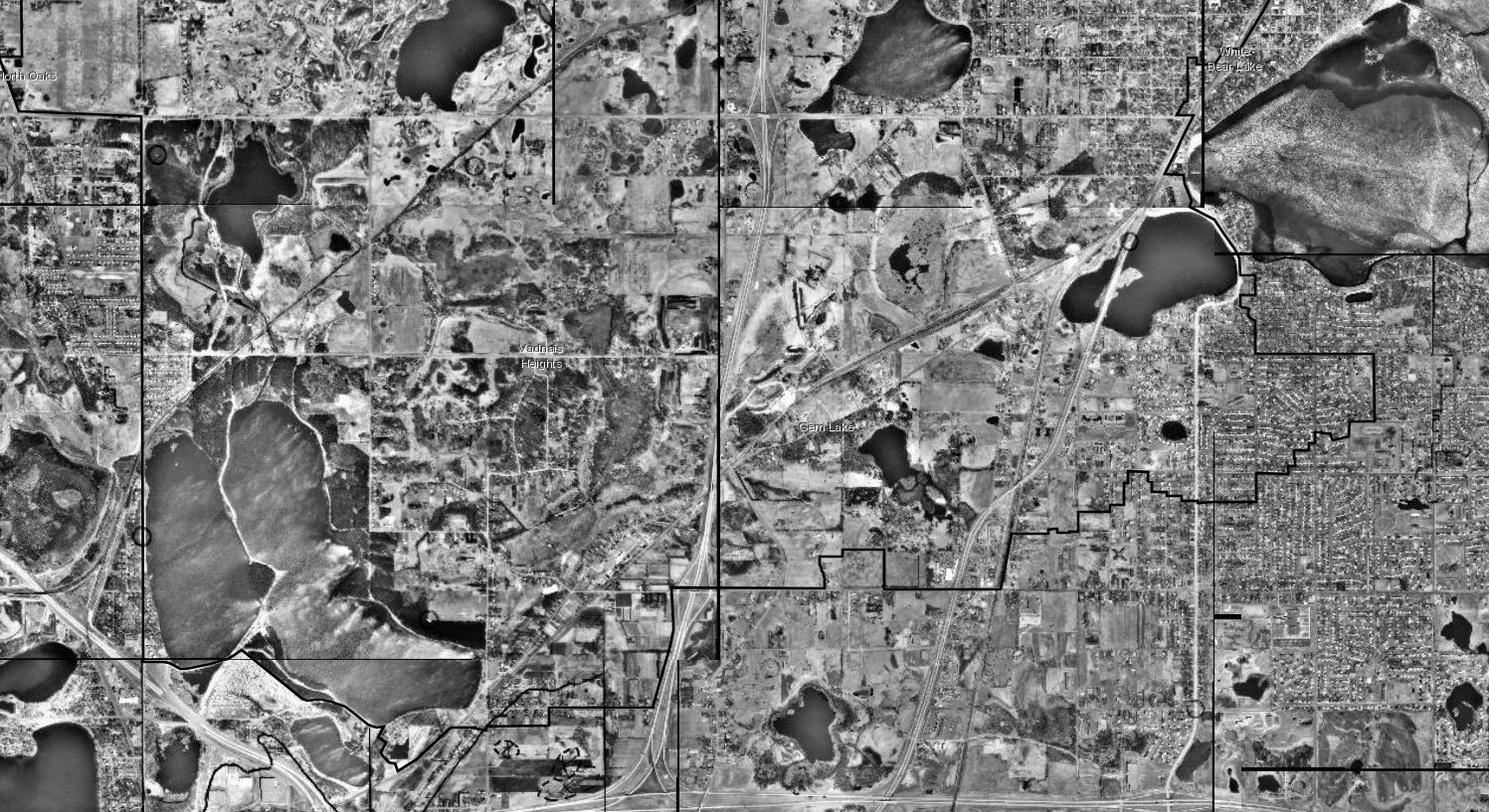
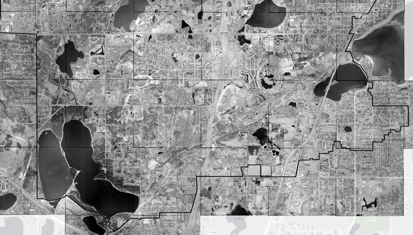
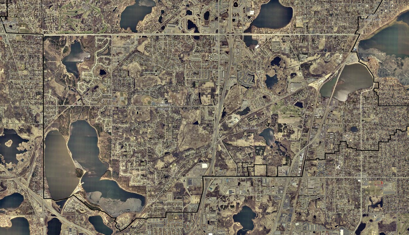
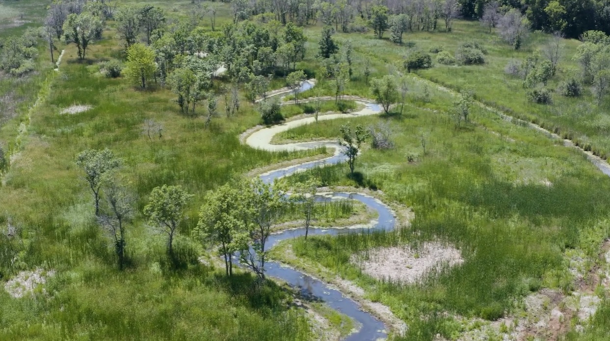
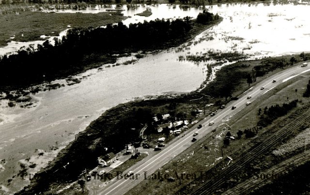
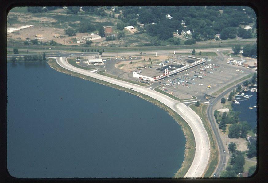
Our watershed has seen many changes over the last 100 years. The pressures of agriculture and development have altered the watershed's former network of slow-moving shallow lakes and wetlands into a faster network of ditches and channels.
While this process has had some benefits for communities, it also creates complications for how local water moves across the landscape, carries materials such as sediment and nutrients, and infiltrates into the ground. View a time lapse of the southern portion of our watershed below, and check out our projects page to learn about how we're working to restore local hydrology.